What is recorded here
Pitnacree House, Steading is a farmstead in Perth and Kinross, Scotland.
Places near here
Photo credits
- Ian S, Wikimedia Commons · CC BY-SA 2.0
- Russel Wills, Wikimedia Commons · CC BY-SA 2.0
- Maker not stated on source page, www.youtube.com
- Maker not stated on source page, en.wikipedia.org
- Anne Burgess, Wikimedia Commons · CC BY-SA 2.0
- Alpin Stewart, Wikimedia Commons · CC BY-SA 2.0
- Chris Eilbeck, Wikimedia Commons · CC BY-SA 2.0
- Jim Barton, Wikimedia Commons · CC BY-SA 2.0
- Richard Webb, Wikimedia Commons · CC BY-SA 2.0
- Maker not stated on source page, commons.wikimedia.org
 PitnacreeMill House · 526 yd
 BallechinCountry House · 1107 yd
 TullypowrieCup Marked Stone (prehistoric) (possible) · 1126 yd
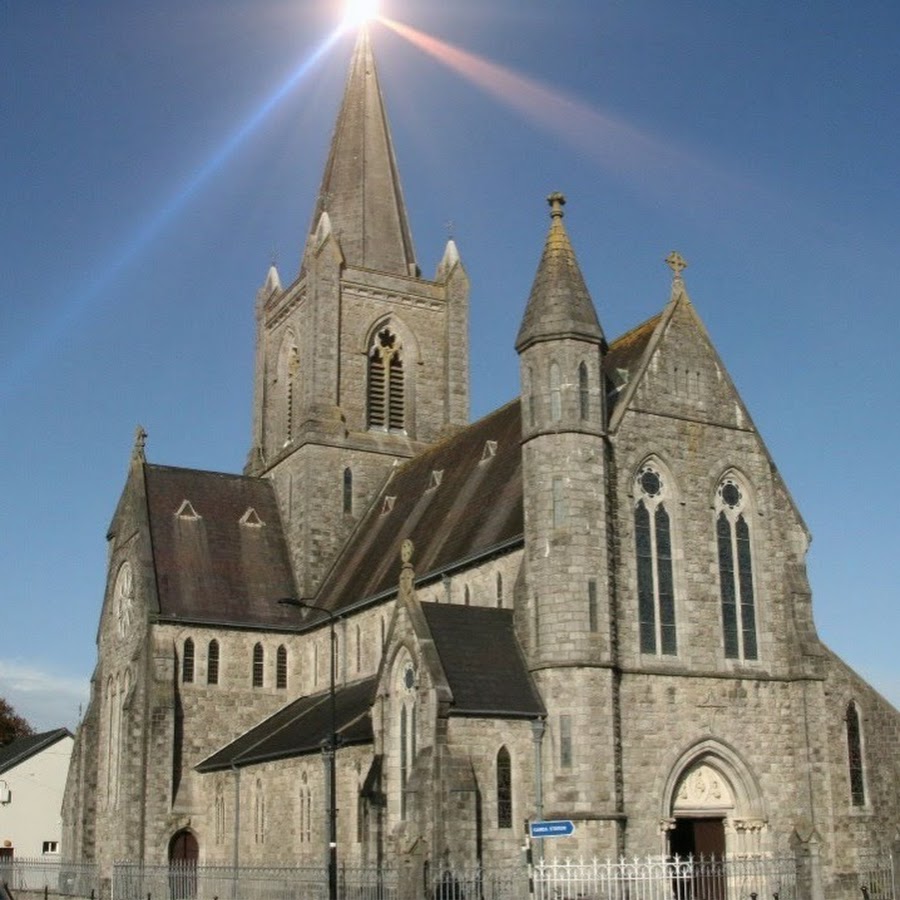 Strathtay, Holy Cross Roman Catholic ChurchChapel (19th Century) · 1207 yd
 Strathtay, Free ChurchChurch (19th Century) - (20th Century) · 1236 yd
 GrandtullyTravellers Camp (post Medieval) - (20th Century) · 1379 yd
 Tullypowrie BurnChurch, Corn Drying Kiln, Cross Slab (early Medieval), Farmstead, Lade, Mill · 1557 yd
 Strathtay Golf CourseGolf Course (20th Century) (1909) · 1656 yd
 MiddletonEnclosure(s) (post Medieval), Farmhouse (post Medieval), Farmstead (post Medieval) · 1.0 mi
 Highland ChocolatierHeritage attraction · 1.0 mi
 Clachan An DiridhFour Poster Stone Circle (bronze Age) · 1.0 mi
 Castle Dow, HIllfortArchaeological place · 1.7 mi
More historic places in Perth and Kinross · All of Perth and Kinross

What do you know about this place?Tap to add a comment or ask a question