What is recorded here
Pits excavated by Emer Dennehy (02E0670) and described as 'a complex of six roasting pits excavated into the underlying gravel. The pits were subcircular, averaging 1.5m north-south by 1.2m, with an average depth of 0.4m. The roasting pits would not have retained water and were filled with burnt sandstone and limestone in a charcoal-enriched matrix.' This description is posted on the web at the following internet address (accessed 2 August 2012): http://www.excavations.ie/
Compiled by: Denis Power
Date of Upload: 2 August 2012
The monument record does not grant public access. Check the route and ask the landowner before entering private land.
- What survives
- Recorded monument
Places near here
 IndicatedFairy fort / stone ringfort · 649 yd
 Furnace in MulderricksfieldFurnace · 763 yd
 Dysert Castle (in ruins)Castle, tower house · 1079 yd
 Dysert CastleCastle · 1081 yd
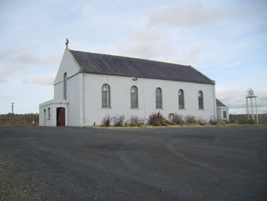 Saint Senan's Catholic Churchchurch/chapel · 1609 yd
 Robertstown Church (in ruins)Church · 1648 yd
 Foynes Flying Boat & Maritime MuseumMuseum · 2.6 mi
 Gammarel PointHeadland · 2.6 mi
 Holly IslandIslet · 2.6 mi
 Foynes Island ViewpointViewpoint · 2.8 mi
 Aughinish PointHeadland · 3.1 mi
 Foynes IslandIsland · 3.1 mi