What is recorded here
Situated on a fairly level landscape. Archaeological testing (19E0553) by I. Russell in a single large sub-triangular field (max. dims c. 350m NNE-SSW; c. 320m WNW-ESE) that almost constitutes the entirety of this detached part of the townland identified and completely excavated (excavatioins.ie 2019:726) a small pit (diam. 0.8m; D 0.18m). It had a red/brown silty base that might have resulted from in situ burning, and it was filled with a single layer of soft black silty clay with some charcoal and flecks of oxidised clay and occasional burnt bone. No artefacts were recovered. The field can be correlated with an enclosed area on the Down Survey (1656-8) maps of Dunboyne barony and parish, and the field boundaries are likely to be medieval in origin. (Russell 2019, 11-13)
See the attached view from the Down Survey barony Map (N at top), reproduced courtesy of the National Library of Ireland
Compiled by: Michael Moore
Date of upload: 5 November, 2021
The monument record does not grant public access. Check the route and ask the landowner before entering private land.
- What survives
- Recorded monument
Places near here
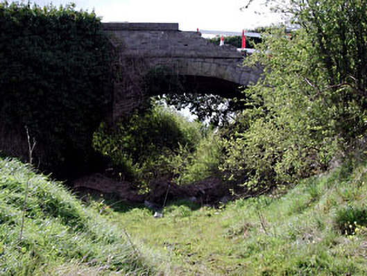 bridgebridge · 1464 yd
 Enclosure in LoughsallaghEnclosure · 1.1 mi
 Enclosure in CalliaghweeEnclosure · 1.2 mi
 Caulstown Christmas Tree FarmForest · 1.2 mi
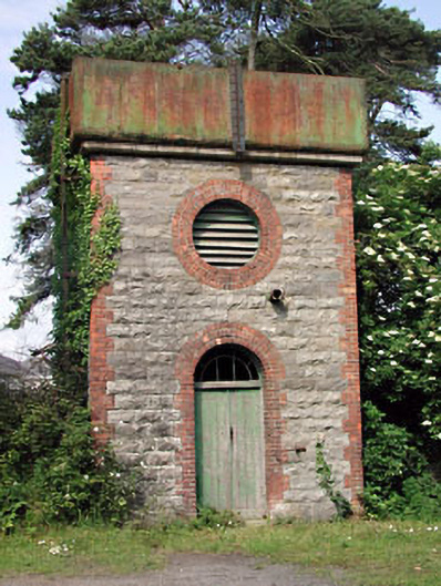 Dunboyne Railway Stationwater tower · 1.4 mi
 CastleCastle, ringwork · 1.7 mi
 Wesley's WoodsWood · 1.9 mi
 Kilbride MoatCastle, motte · 2.7 mi
 Graveyard in BuzzardstownGraveyard · 2.9 mi
 Church, GraveyardChurch · 3.6 mi
 Blanchardstown Centre information deskVisitor information · 3.7 mi
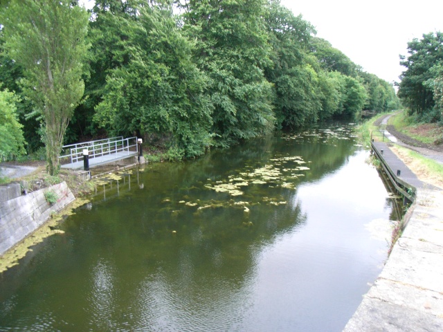 The Royal Canal WayWalking route · 6.0 mi