What is recorded here
Situated in a gently undulating landscape. Archaeological testing (04E0926) by S. Keith (2005) at Testing Area 3 of Contract 4 of the M3 motorway identified a burnt mound (excavations.ie 2004:1311) that was fully excavated (E003128) by E. Lyne (2010) as Phoenixtown 1 in August-September 2006 (excavations.ie 2007:1261). An area of 4500 square metres was opened revealing the burnt mound as well as this isolated concentration of four pits and an outlying pit that produced sherds of Neolithic pottery.
A shallow pit (dims 2.2mx 0.95m; D 0.09m) yielded seven sherds of Early Neolithic pottery and c. 4m to the E two pits (dims 0.74m x 0.46m; D 0.16m: dims 0.55m x 0.45m; D 0.13m) provided six sherds and 11 sherds respectively. About 2.5m S of these two sherds were retrieved from a shallow oval pit (dims 0.76m c 0.4m; D 0.1m). The largest pit (dims 2.67m x 1.87m; D 0.44m) was c. 33m to the SE and had an uneven base but its layers of brown clay over orange/brown clayey sand produced 26 sherds of Neolithic pottery from two vessels. Just N of this pit was a group of six postholes and a stakehole in a rough NW-SE line (L c. 8m). (Lyne 2010, 5-6)
Compiled by: Michael Moore
Date of upload: 23 March 2022
The monument record does not grant public access. Check the route and ask the landowner before entering private land.
- What survives
- Recorded monument
Places near here
 IndicatedHoly well · 480 yd
 CrossCross, Wayside cross · 1114 yd
 Laurel CoverWood · 1694 yd
 Faughan HillMountain / peak · 1696 yd
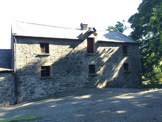 Martry Millmill (water) · 1750 yd
 Church in Grange (navan Lower By.)Church · 1.0 mi
 Newtown GroveWood · 1.1 mi
 BallybegMountain / peak · 1.4 mi
 The New Line RoadMemorial · 2.3 mi
 Castle ruinsCastle · 3.4 mi
 Saint John's CemeteryMemorial · 4.3 mi
 FarmaphobiaHeritage attraction · 5.1 mi