What is recorded here
Situated in a gently undulating landscape. Archaeological testing (04E0926) by S. Keith (2005) at Testing Area 3 of Contract 4 of the M3 motorway identified archaeological material (excavations.ie 2004:1311) that was excavated (E003130) by E. Lyne (2010) as Phoenixtown 3 from November 2006 to March 2007 (excavations.ie 2007:1369). Two areas were opened, amounting to 5500 square metres in total.
In Area A two small pits (diam. 0.36-0.38m; D 0.06m: diam. 0.45-0.47m; D 0.08m), 1.5m apart, produced 13 sherds from a vase food vessel, but there is no mention of bone. A sample of hazelnut shell from the smaller pit provided the C14 date of 1745-1628 cal. BC (UBA 1110), placing it in the Middle Bronze Age. A single posthole c. 12m to the NW is thought to be related. (Lyne 2010, 5-7)
Compiled by: Michael Moore
Date of upload: 23 March 2022
The monument record does not grant public access. Check the route and ask the landowner before entering private land.
- What survives
- Recorded monument
Places near here
 CrossCross, Wayside cross · 640 yd
 IndicatedHoly well · 942 yd
 Laurel CoverWood · 1279 yd
 Newtown GroveWood · 1565 yd
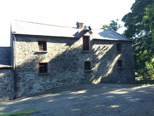 Martry Millmill (water) · 1652 yd
 BallybegMountain / peak · 1.1 mi
 Old Grave YardChurch · 1.2 mi
 Faughan HillMountain / peak · 1.2 mi
 The New Line RoadMemorial · 2.6 mi
 Castle ruinsCastle · 3.0 mi
 CastleCastle, motte · 3.9 mi
 Saint John's CemeteryMemorial · 4.0 mi