What is recorded here
Aerial photograph (GB89.R.16) shows the cropmark of a large curvilinear enclosure (KD039-039----) defined by multiple fosses. A complex entrance, comprising four fosses, faces north. A broad outer fosse extends southwards along a ridge forming an outer compound. A staggered entrance leads into this compound from the main enclosure. Overlapping fosses indicate morphological change within the site over time. Three circular pits (KD039-039001-) are aligned with, and just to the S of, the enclosure, but ground investigation would be required to clarify whether they are archaeologically significant.
Compiled by: Dr. Gillian Barrett
Date of upload: 13 December 2011
The monument record does not grant public access. Check the route and ask the landowner before entering private land.
- What survives
- Recorded monument
Places near here
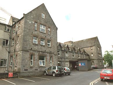 Enclosure in NewtownallenEnclosure · 665 yd
 Enclosure in Johnstown SouthEnclosure · 1102 yd
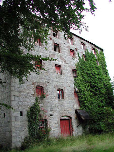 Prumplestown Millmill (water) · 1701 yd
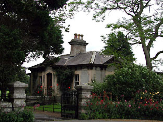 Prumplestown Housegate lodge · 1.0 mi
 CastleCastle, tower house · 1.5 mi
 Gorteen MoundCastle, unclassified · 1.5 mi
 Oak Park Forest ParkWood · 2.2 mi
 ProclamationMemorial · 2.2 mi
 Franciscan FriaryHeritage attraction · 2.5 mi
 Castledermot Round TowerHeritage attraction · 2.6 mi
 Lorcán Ó TuathailMemorial · 2.6 mi
 Mullaghreelan WoodForest · 2.9 mi