What is recorded here
Approximately square area (Wth. 38m N-S) originally surrounded by an earthen bank with an external fosse. The cropmark of a bank is visible on three sides, traces of the original bank may have been incorporated into the field fences at the SW and SE. Described in 1955 as having traces of a slight inner bank, with causeways at the SE and NW, and with a small field attached at the W.
Aerial photograph (GB89.R.13) shows a rectangular enclosure, probably a moated site; remnants of fosses defined by positive cropmarks.
Date of upload: 6 September 2016
The monument record does not grant public access. Check the route and ask the landowner before entering private land.
- What survives
- Recorded monument
Places near here
 Enclosure in Johnstown SouthEnclosure · 1347 yd
 Enclosure in Prumpelstown UpperEnclosure · 1454 yd
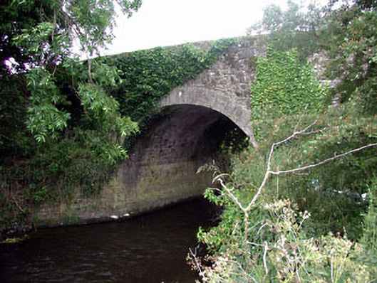 Ballaghmoon Bridgebridge · 1520 yd
 Church (in Ruins)Church · 1660 yd
 Gorteen MoundCastle, unclassified · 1.3 mi
 CastleCastle, tower house · 1.8 mi
 Oak Park Forest ParkWood · 1.8 mi
 ProclamationMemorial · 2.5 mi
 Franciscan FriaryHeritage attraction · 2.7 mi
 Castledermot Round TowerHeritage attraction · 2.9 mi
 Lorcán Ó TuathailMemorial · 3.0 mi
 White willowWhite willow · 3.2 mi
Other information
Photo: Credit not shown in the picture search · Rights wording not checked; contact us if this picture should be removed