What is recorded here
Excavation in 2001 in advance of the construction of the N25 Youghal Bypass revealed an oval-shaped pit (1.7m N-S x 1.3m; D 0.25m). The pit consisted of an upper fill of mid-brown sandy silt which contained medium-sized pebbles and stones with occasional charcoal flecking. The lower fill consisted of a loosely compacted whitish-yellow clay with occasional small pebbles and charcoal flecking and yielded a possible struck flint. The pit was sited near to a late Iron Age structure (CO067-075----) excavated in Muckridge townland in 2001. (Noonan 2001a; 2003g, 55-6) The above description is derived from 'The Archaeological Inventory of County Cork. Volume 5' (Dublin: Stationery Office, 2009). Date of upload: 22 December 2009
The monument record does not grant public access. Check the route and ask the landowner before entering private land.
- What survives
- Recorded monument
Places near here
 Heathfield TowersCountry house · 153 yd
 KilnKiln, corn-drying · 387 yd
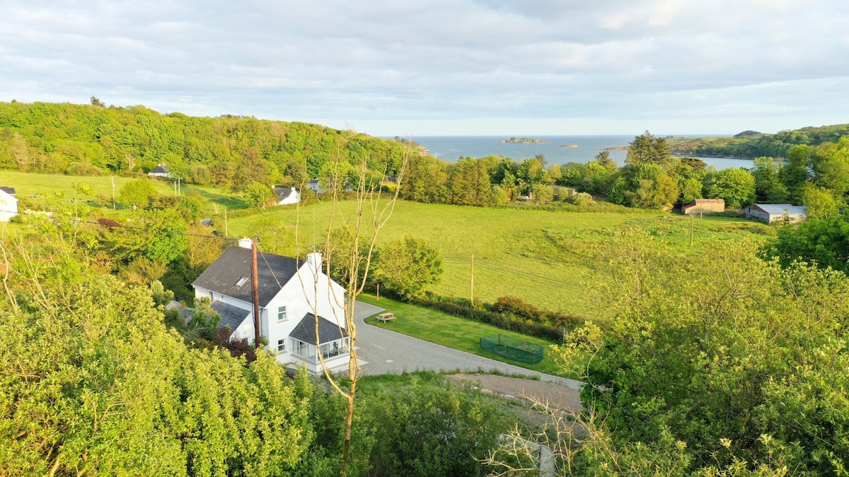 Enclosure in Ballynacarriga (imokilly By., Youghal Par.)Enclosure · 429 yd
 Youghal Foxhole Loop walkWalking route · 1622 yd
 Ringcrew WoodForest · 1.1 mi
 European YewEuropean Yew · 1.3 mi
 Collegiate Church of Saint MaryHeritage attraction · 1.3 mi
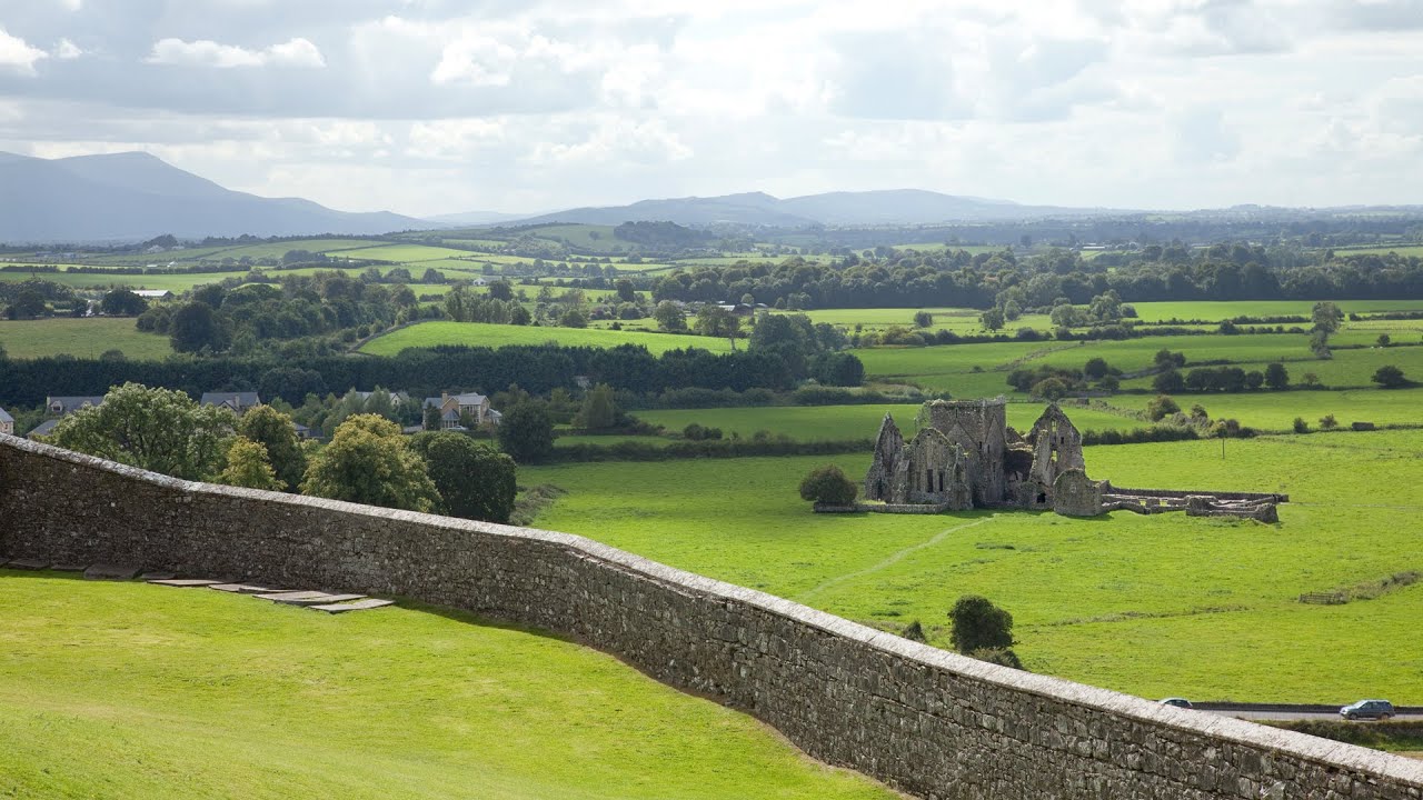 Burnt mound in Killea (coshmore and Coshbride By.)Burnt mound · 1.4 mi
 Town WallHeritage attraction · 1.4 mi
 Our Lady's CollegeMemorial · 1.4 mi
 Emmet PlaceMemorial · 1.5 mi
 Priory Court Car ParkVisitor information · 1.5 mi