What is recorded here
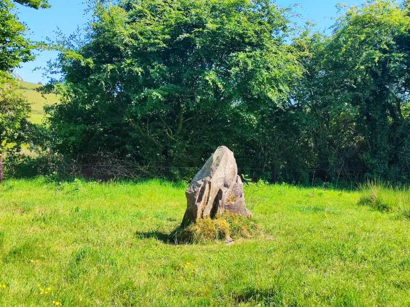
Situated on an E-facing slope of rising ground overlooking a nearby river to the E in an upland area. Cremated human bones found in a pit (0.65m D; 0.52m W) with flagstone floor and capstone with prostrate pointed stone (1.7m x 0.8m x 0.25m) which may have been erected over the site (Lucas 1961, 89). The second burial was found 10m to the W and consisted of the cremated remains of a burial placed in a pit protected by three small slabs with accompanying bronze blade (Waddell 1969, 3-5). No visible remains at ground level.
The above description is derived from 'The Archaeological Inventory of County Tipperary. Vol. 1 - North Tipperary' compiled by Jean Farrelly and Caimin O'Brien (Dublin: Stationery Office, 2002). In certain instances the entries have been revised and updated in the light of recent research.
Date of upload/revision: 22 September 2008
Pit-burial in Reardnogy More is a prehistoric funerary structure, likely dating to the Neolithic or early Bronze Age, characterized by a small pit with a flagstone floor and capstone. Its significance lies in the presence of cremated human remains, indicating early ritual burial practices in the upland landscape.
The monument record does not grant public access. Check the route and ask the landowner before entering private land.
- What survives
- Recorded monument
Places near here
 Rear National Schoolschool · 385 yd
 Catholic Church of Our Lady of Visitationchurch/chapel · 424 yd
 Dermot & Granias Bed (Site of)Megalithic structure · 1170 yd
 Enclosure in CoonmoreEnclosure · 1.6 mi
 Slieve Felim East TopMountain / peak · 2.4 mi
 MauherslieveMountain / peak · 2.4 mi
 Slieve Felim WayWalking route · 4.3 mi
 Ballyhourigan WoodsForest · 5.2 mi
 CastleCastle, unclassified · 6.6 mi
 Sliev Felim WayVisitor information · 7.4 mi
 Bawn in RathBawn · 8.4 mi
 Graveyard in AbingtonGraveyard · 8.7 mi