What is recorded here
Situated in the N-S valley of the meandering Tolka River. Archaeological centre-line testing (04E0489) by R. O’Hara prior to the construction of the M3 motorway identified two spreads of charcoal (excavations.ie: 2004:1191) that were fully excavated (E003029) by L. Clarke (excavations.ie 2005:AD8) as Dunboyne 1. A shallow pit (dims 0.46m x 0.41m; D 0.14) was 9.5m WNW of a second pit (dims 0.8mk x 0.7m; D 0.05m), both of which were filled with two layers of compact grey/black clays with varying inclusions of stone, charcoal and cremated bone. A sample of hazel or alder charcoal from the smaller pit produced a C14 date of 1530-1410 cal. BC, while a sample of hazel/whitethorn charcoal from the larger yielded a date of 1260-1000 cal. BC. The bone from this pit could not be positively identified as human, but no other artefacts or features were recorded. (Clarke 2008)
Compiled by: Michael Moore
Date of upload: 4 November 2021
Pit-burial in Dunboyne is a prehistoric burial feature, likely dating to the Neolithic or Early Bronze Age. Its significance lies in its association with early settlement and funerary practices along the Tolka River valley.
The monument record does not grant public access. Check the route and ask the landowner before entering private land.
- What survives
- Recorded monument
Places near here
 Enclosure in LoughsallaghEnclosure · 492 yd
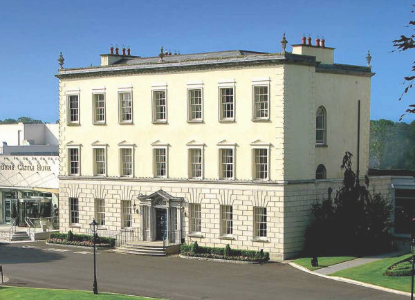 Enclosure in DunboyneEnclosure · 554 yd
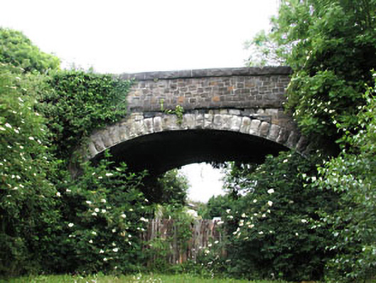 bridgebridge · 826 yd
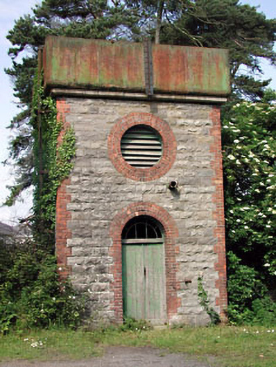 Dunboyne Railway Stationwater tower · 843 yd
 CastleCastle, ringwork · 1529 yd
 Caulstown Christmas Tree FarmForest · 2.1 mi
 TyrrelstownWood · 2.6 mi
 Graveyard in BuzzardstownGraveyard · 2.9 mi
 Church, GraveyardChurch · 2.9 mi
 Blanchardstown Centre information deskVisitor information · 3.4 mi
 Luttrellstown CastleCastle · 3.5 mi
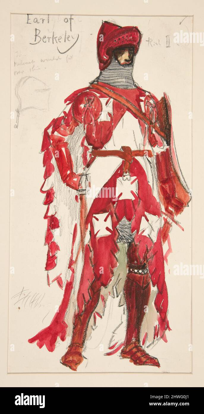 Berkeley Costume and Toy CollectionMuseum · 5.8 mi