What is recorded here
Uncovered during archaeological excavation of the N8 Cashel bypass. A pit (diam. 0.43m; D 0.38m) containing frequent inclusions of burnt bone and charcoal was found under a field boundary (McKinstry 2004, 11-12, 20). A radiocarbon date of 3460±70 BP/2940-1610 cal. BC was obtained for the cremation (Fairburn 2006, 457).
Compiled by: Jean Farrelly
Date of upload: 27 August 2014
A pit-burial dating to the Early Bronze Age, likely associated with funerary or ritual practices. Its significance lies in providing evidence of burial customs and human activity along the Cashel bypass archaeological landscape.
The monument record does not grant public access. Check the route and ask the landowner before entering private land.
- What survives
- Recorded monument
Places near here
 Burnt spread in GortmakellisBurnt spread · 450 yd
 Enclosure in BallyknockEnclosure · 604 yd
 Gortmakellis CastleCastle · 632 yd
 Ballyknock HillMountain / peak · 784 yd
 Castle in RuinsHouse, fortified house · 1.2 mi
 DuvcloyRoad, hollow-way · 1.3 mi
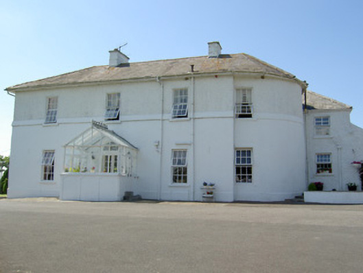 Hill Househouse · 1.4 mi
 Rock of CashelHeritage attraction · 1.7 mi
 Cormac's ChapelHeritage attraction · 1.7 mi
 The Rock Of CashelVisitor information · 1.7 mi
 Black mulberryBlack mulberry · 1.8 mi
 Clonoulty HillMountain / peak · 6.4 mi