What is recorded here
Aerial photograph (GB89.T.16, July 1989) shows cropmark of a single line of closely spaced pits in close proximity to two ring-ditches (KK010-154----, KK010-156----). The alignment runs NW to SE and then curves back on itself to the SW forming a 'V-shaped' structure or possibly a trapezoidal enclosure. There is an enclosure (KK010-141----) c. 160m to the N and a number of other ring-ditches (KK010-157----; KK010-157001-; KK010-157002-; KK010-191---- and KK010-192----) to the S-SW which have also been identified as cropmarks.
Compiled by: Dr. Gillian Barrett for the Archaeological Survey of Ireland and Jean Farrelly
Date of revised upload: 28 January 2019
The monument record does not grant public access. Check the route and ask the landowner before entering private land.
- What survives
- Recorded monument
Places near here
 Enclosure in ConnahyEnclosure · 174 yd
 CastleCastle, unclassified · 494 yd
 Connahy Ringfort (rath)Archaeological place · 758 yd
 Donaghmore Church (in ruins)Church · 1.1 mi
 Foulksrath CastleCastle, tower house · 1.1 mi
 Donaghmore WellSpring · 1.1 mi
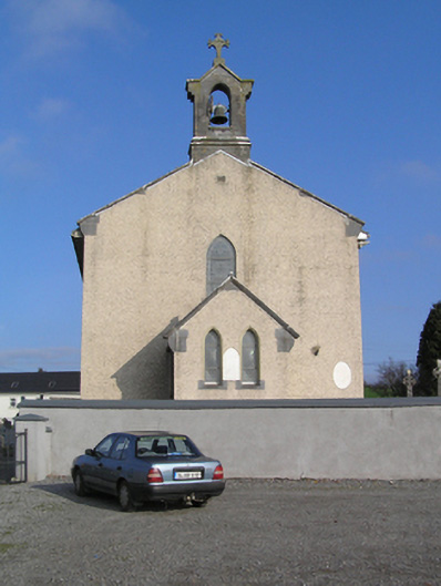 Saint Colman's Catholic Churchchurch/chapel · 1.2 mi
 Jenkinstown ParkForest · 3.1 mi
 Graveyard in ThreecastlesGraveyard · 3.7 mi
 Anker's IslandIsland · 3.7 mi
 Turkey OakTurkey Oak · 3.9 mi
 Emma Jane Browne-ClaytonMemorial · 4.2 mi