What is recorded here
Unknown Townland in County Dublin, Ireland: no visible trace remains, though a pillory stood at the Castle Street and Christchurch Place junction on Speed's map of 1610. Imagine a wooden post biting into wrists while market noise swirled past, shame displayed like bread on a shelf. The junction may have turned ordinary walking into a lesson in fear, forcing neighbours to measure their own greed against someone else's punishment.
The Friends of Medieval Dublin Map (1978) shows the site of a pillory at the junction of Castle Street and Christchurch Place where it is shown on Speed's map of 1610 (FMD map (1978, O9, Bradley & King 1987II, 151). There is no visible trace.
Compiled by: Geraldine Stout
Date of upload: 23 November 2012
This remains an important historical record, but the official description says the monument is no longer visible or has been destroyed. The monument record does not grant public access. Check the route and ask the landowner before entering private land.
- What survives
- No visible remains or recorded as destroyed
Places near here
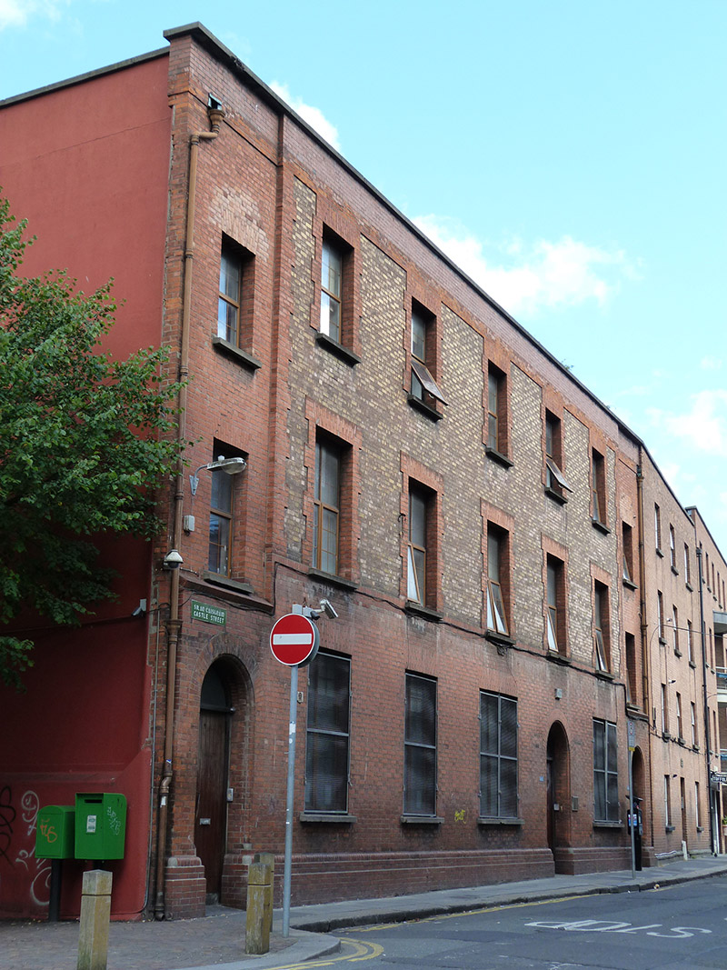 HSEbuilding misc · 32 yd
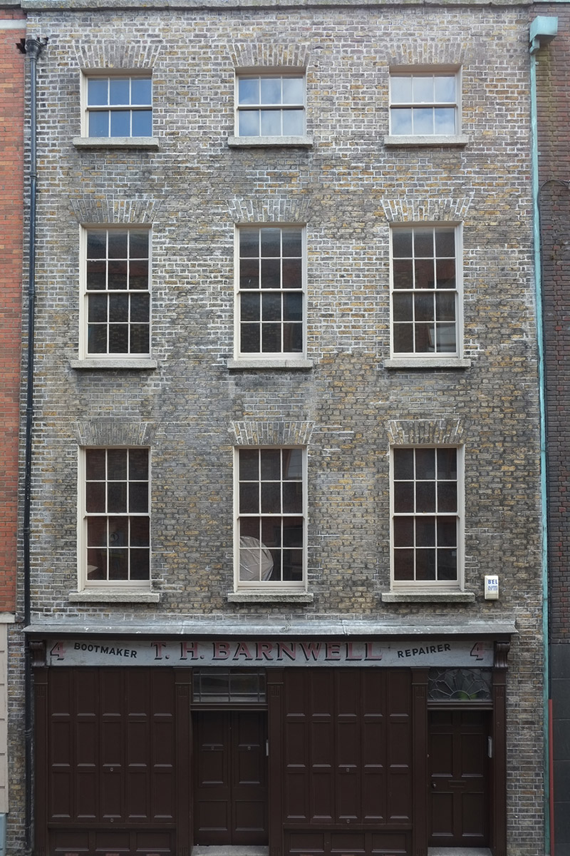 T.H. Barnwellhouse · 32 yd
 IndicatedCathedral · 88 yd
 Graveslab in Unknown TownlandGraveslab · 100 yd
 CastleCastle, Anglo-Norman masonry castle · 179 yd
 Newcomen BankVisitor information · 184 yd
 Veronica GuerinHeritage attraction · 207 yd
 Dublin City HallHeritage attraction · 223 yd
 St. Michael's le Pale Church YardMemorial · 229 yd
 Tourist Information CentreVisitor information · 276 yd
 John FieldMemorial · 326 yd
 Bigleaf MapleBigleaf Maple · 971 yd