What is recorded here
Located c. 50m NW of the Sruhnasilloge river which flows southwestward. A possible pillar stone (L 1.2m; Wth 0.3m), lying horizontal, is located within the graveyard (KK029-027002-) associated with the medieval church of St Kieran (KK029-027001-). There are several vertical incised marks on the stone, possibly indicating its use as a sharpening stone. It is possible that the stone formed part of the fabric of the church. The graveyard is heavily overgrown with scrub and trees.
See attached photograph:
KK029-027006-_01
Compiled by: Jean Farrelly
Date of upload: 9 March 2022
The monument record does not grant public access. Check the route and ask the landowner before entering private land.
- What survives
- Recorded monument
Places near here
 Site of St. Kierans ChurchChurch · 1 yd
 St. Kieranss WellHoly well · 83 yd
 Site of Brittas CastleCastle, unclassified · 391 yd
 Site of Kilkieran CastleCastle, unclassified · 1055 yd
 Fiddaun Bridgebridge · 1243 yd
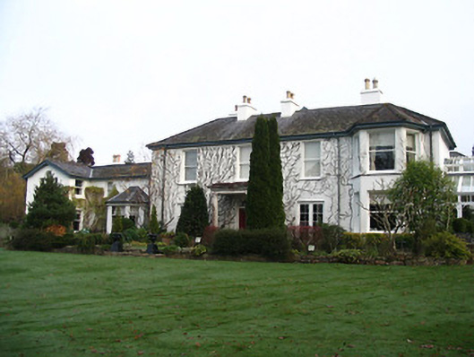 Rockviewhouse · 1495 yd
 Saddle HillMountain / peak · 1.1 mi
 James FrenyMemorial · 1.4 mi
 Graveyard in InistiogeGraveyard · 1.4 mi
 St. Mary's ChurchVisitor information · 1.4 mi
 InistiogeVisitor information · 1.5 mi
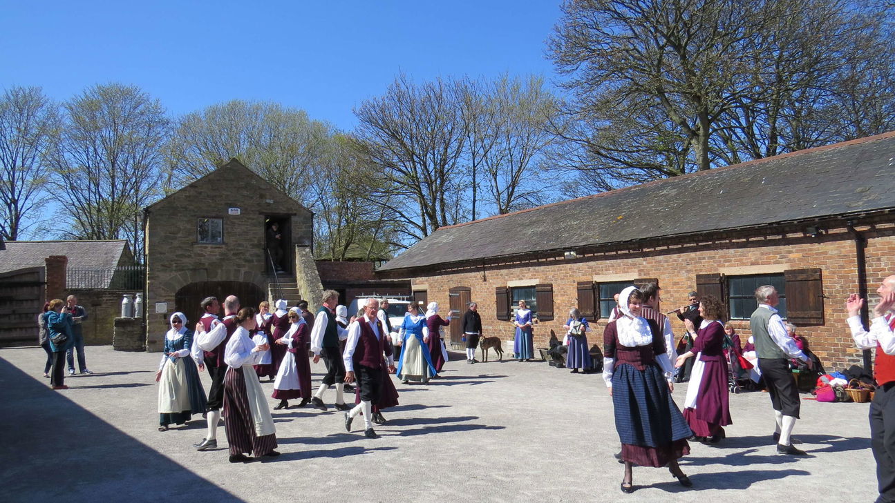 Woodstock Heritage MuseumMuseum · 1.5 mi