What is recorded here
Situated in the Vee pass of the Knockmealdown Mountains, on an E-facing slope overlooking the road. It is not marked on the 1840 ed. of the OS 6-inch map. Rectangular vaulted structure (int. dims. 3m E-W; 2.45m N-S, max. H 2.5m) with a fireplace in the W wall and small lights or loops in the N and S walls. The E wall does not survive. Structure (WA011-008----) is c. 600m to the N.
The above description is derived from the published 'Archaeological Inventory of County Waterford' (Dublin: Stationery Office, 1999). In certain instances the entries have been revised and updated in the light of recent research.
Date of upload/revision: 23 December 2008
The monument record does not grant public access. Check the route and ask the landowner before entering private land.
- What survives
- Recorded monument
Places near here
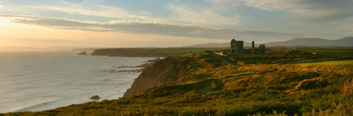 IndicatedStructure · 275 yd
 KnocknaloughaMountain / peak · 1287 yd
 KnockacomortishMountain / peak · 1.1 mi
 Grubb’s GraveMemorial · 1.4 mi
 Blackwater (Avondhu) WayWalking route · 1.5 mi
 The VeeViewpoint · 1.5 mi
 Bohernagore WoodForest · 1.8 mi
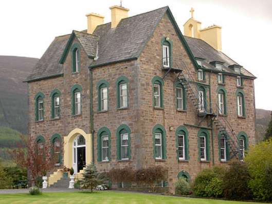 The Old Conventconvent/nunnery · 2.7 mi
 Castlegrace Bridgebridge · 2.8 mi
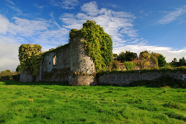 Castle Grace (in ruins)Castle, Anglo-Norman masonry castle · 2.9 mi
 Bawn in Ballyboy EastBawn · 3.0 mi
 Kildanogue wildfowl sanctuary and nature reserveNature reserve · 3.0 mi