What is recorded here
Cortober and Drumnafinnila Barr still touch, but the stone pile that named the seam has vanished from the ridge. A surveyor in 1907 believed it enough to write, and a man in 2016 believed the writing enough to look. Neither found it. The ridge keeps its own boundary now, drawing a line no person can point to.
Situated on a broad E-W ridge. It is marked only on the 1907 edition of the OS 6-inch map where it is described in italic lettering as a 'Pile of Stones' marking the boundary between the townlands of Cortober to the S and Drumnafinnila Barr to the N. It is not extant.
Compiled by: Michael Moore
Date of upload: 6 December, 2016
The monument record does not grant public access. Check the route and ask the landowner before entering private land.
- What survives
- Recorded monument
Places near here
 PlaygroudCliff · 343 yd
 CarrignahastaCliff · 836 yd
 CloghasaggartPenal Mass station · 1299 yd
 Sweat Ho.Sweathouse · 1691 yd
 Enclosure in Greaghnafarna (drumahaire By., Yugan Ed)Enclosure · 1.4 mi
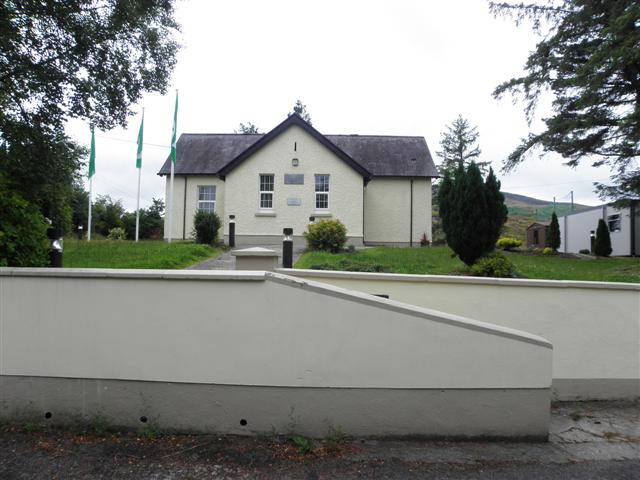 CurraghvahMountain / peak · 1.6 mi
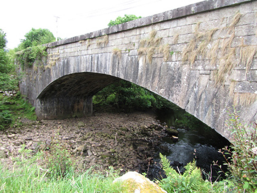 bridgebridge · 2.1 mi
 Corratober UpperMountain / peak · 2.2 mi
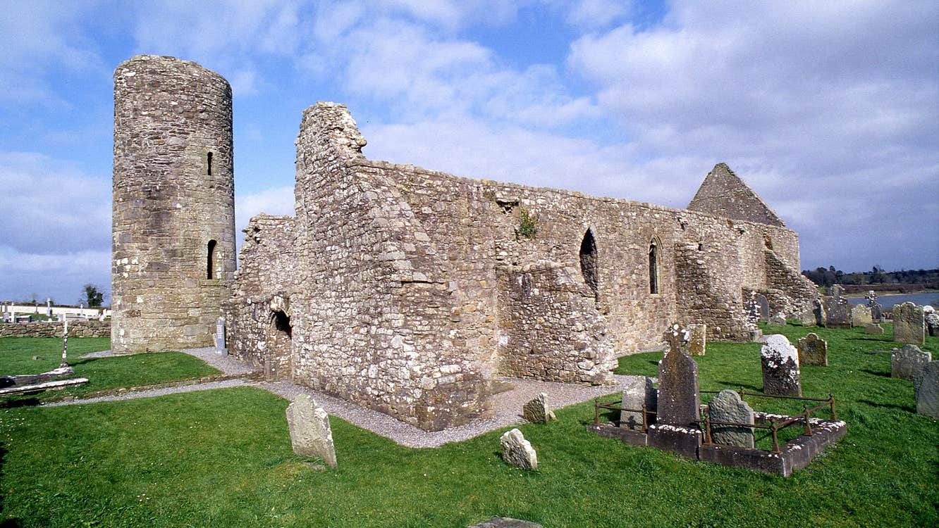 Moneensauran Cuilcagh Anierin Uplands Special Area of ConservationNature reserve · 2.2 mi
 Republican Garden of RemembranceMemorial · 2.8 mi
 Corrard ForestForest · 3.1 mi
 TobermurrySpring · 3.4 mi