What is recorded here
Thirty centimetres of stone on a southern slope marks the exact point where four townland boundaries cross. Aghavoghil, Conwal South, Leckanarainey and Cullionboy all lean into that little heap, giving it more weight than any tall monument. It is the kind of place people might have touched, adjusted or forgotten, yet it still holds the centre of a whole local world.
Marked only on the 1910 ed. of the OS 6-inch map where it is described in italic lettering as a ‘Pile of Stones’. It is located on a S-facing slope where the lines of four unbuilt townland boundaries meet, with Aghavoghil to the NW, Conwal South to the NE, Leckanarainey to the SE and Cullionboy to the SW. This is a pile of stones (diam. 1.5m; H 0.3m). Cairn (LE004-017002-) is c. 130m to the N.
Compiled by: Michael Moore
Date of upload: 4 January, 2016
The monument record does not grant public access. Check the route and ask the landowner before entering private land.
- What survives
- Recorded monument
Places near here
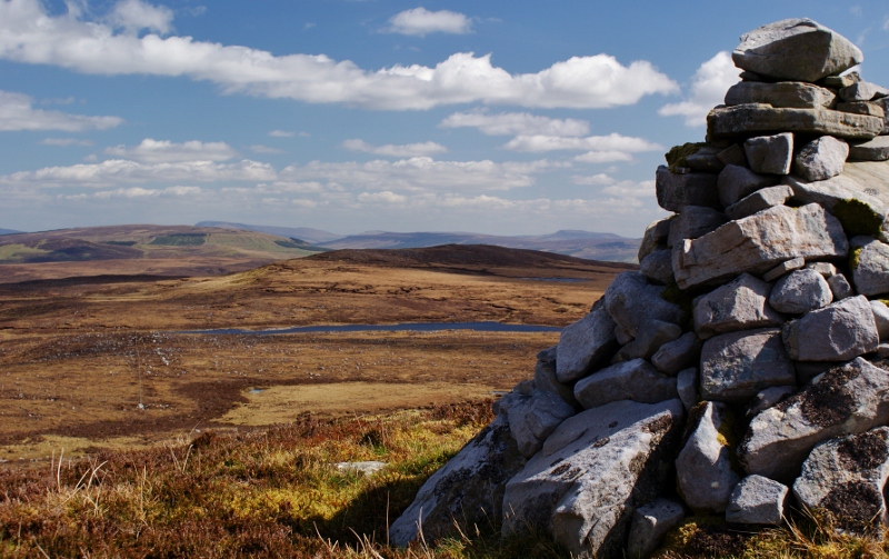 Aganny TopMountain / peak · 834 yd
 Agow TopMountain / peak · 1.2 mi
 IndicatedEnclosure · 1.9 mi
 Altar (Site of)Mass-rock · 2.0 mi
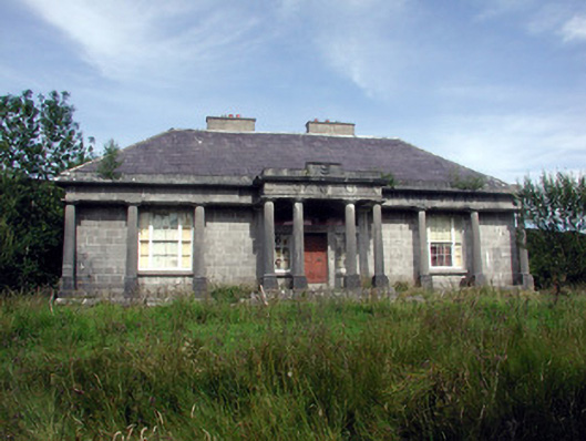 Glenade Housecountry house · 2.0 mi
 Giant's GraveArchaeological place · 3.4 mi
 RC ChapelChurch · 3.5 mi
 Longhill WoodForest · 3.7 mi
 Ashisland WoodForest · 3.8 mi
 Fowley's FallsPicnic place · 3.8 mi
 Kilroosk RockNamed rock · 3.9 mi
 InishtempleIslet · 3.9 mi