What is recorded here
Precipitous mountain terrain on the Altcrock-Gowlan border in County Cavan holds an unmarked pile of stones. It may be a prehistoric cairn later reused as a boundary marker, or it may have been built when those townland divisions first appeared. The stones still perform that same human job: marking where one name of place ends and another begins.
Not marked on the OS 1836 or 1876 eds. Situated in precipitous mountain terrain on the border between the townlands of Altcrock and Gowlan. The site may represent a prehistoric cairn reused as a boundary marker during the introduction of townland divisions, or it may be contemporaneous with this development. Not visited.
The above description is derived from the published 'Archaeological Inventory of County Cavan' (Dublin: Stationery Office, 1995). In certain instances the entries have been revised and updated in the light of recent research.
Date of upload/revision: 22 December 2008
A prehistoric cairn, possibly dating to the Neolithic or Bronze Age, later reused as a boundary marker; its location in a remote and rugged landscape suggests a possible ceremonial or territorial significance.
The monument record does not grant public access. Check the route and ask the landowner before entering private land.
- What survives
- Recorded monument
Places near here
 Benbrack NE TopMountain / peak · 1.3 mi
 Altachullion UpperMountain / peak · 1.4 mi
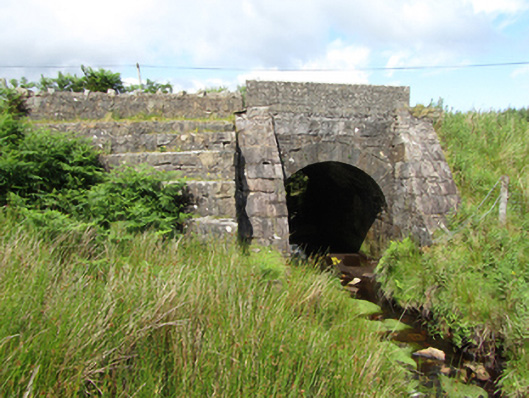 bridgebridge · 1.7 mi
 St Patrick’s Roman Catholic Churchchurch/chapel · 2.2 mi
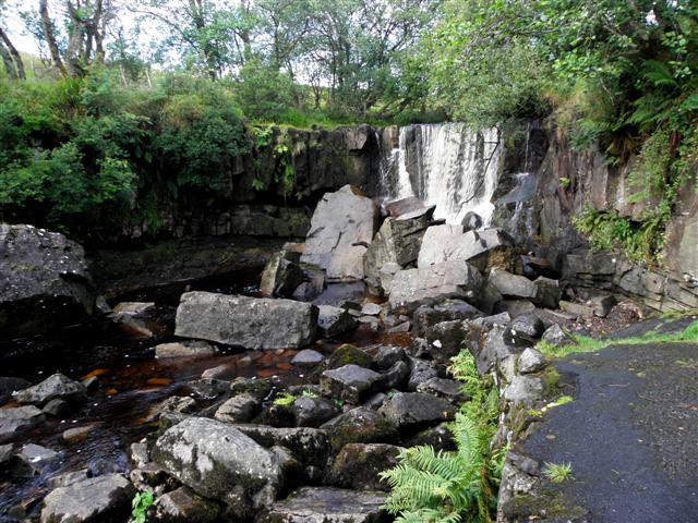 Tullydermot FallsWaterfall · 2.4 mi
 Enclosure in ArderryEnclosure · 3.6 mi
 Prospect BayBay · 3.8 mi
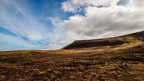 CuilcaghMountain / peak · 3.8 mi
 Tawnagh ForestForest · 3.9 mi
 Out-Doors and DirtyHeritage attraction · 3.9 mi
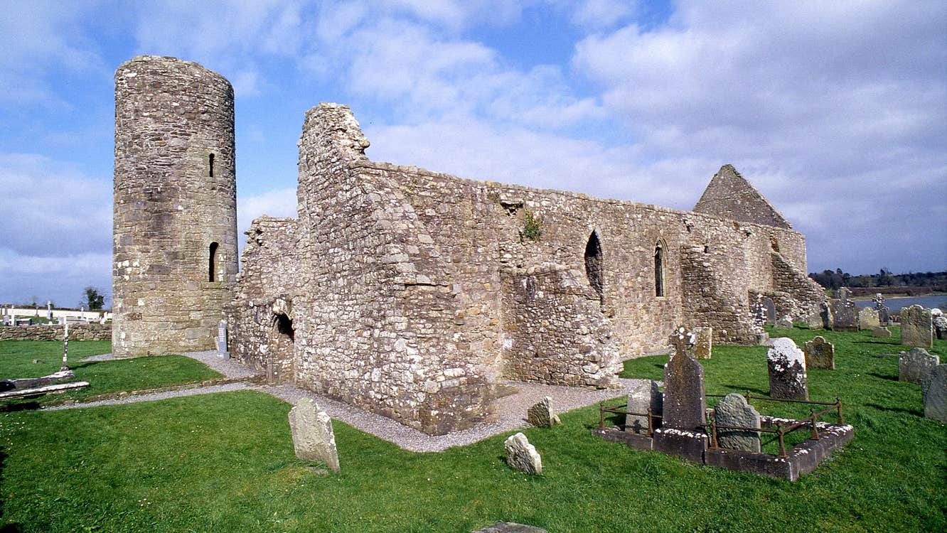 Moneensauran Cuilcagh Anierin Uplands Special Area of ConservationNature reserve · 4.0 mi
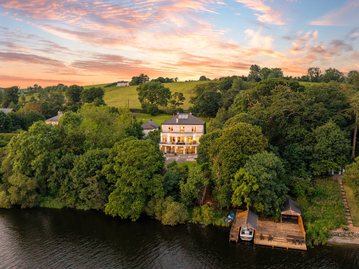 Baron's IslandIslet · 4.3 mi