What is recorded here
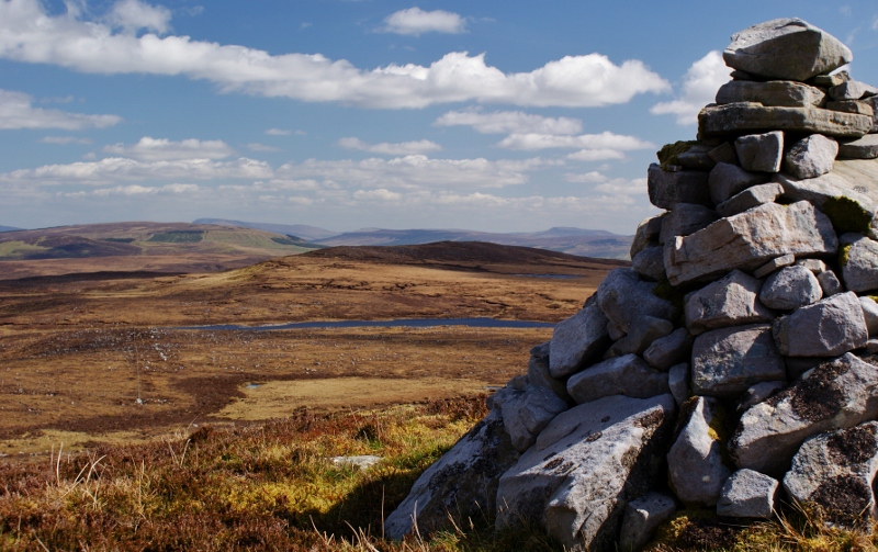
No visible boundary marker exists today, although the pile of stones still holds its triangular shape on the plateau above Aroo Lough. It marked the edge between Aghanlish and Aroo, telling travellers where one local area ended and another began. People may have added stones when passing, changed its shape or simply used it as a landmark before roads and hedges made the border obvious.
Marked only on the 1910 ed. of the OS 6-inch map where it is described in italic lettering as a ‘Pile of Stones’. It is located on the unbuilt townland boundary between Aghanlish to the W and Aroo to the E, and it is situated on a broad plateau with the NW angle of Aroo Lough c. 100m to the SE. This is a triangular cairn (3m by 2m, H. 1.5m).
Compiled by: Michael Moore
Date of upload: 4 January, 2016
The monument record does not grant public access. Check the route and ask the landowner before entering private land.
- What survives
- Recorded monument
Places near here
 Arroo MountainMountain / peak · 1551 yd
 Aganny TopMountain / peak · 1.2 mi
 Enclosure in GorteendarraghEnclosure · 1.3 mi
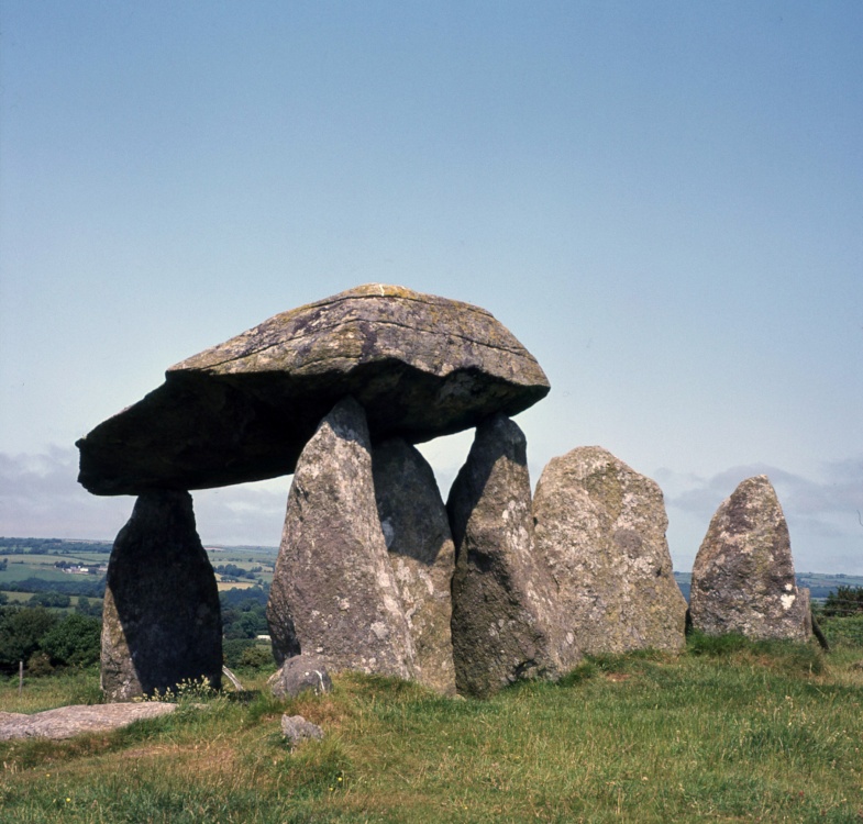 CromlechArchaeological place · 2.0 mi
 Church in Drummans (rosclogher By., Aghanlish Ed)Church · 2.4 mi
 AbbeyChurch · 2.6 mi
 InisheherIslet · 3.0 mi
 Rosfriar PointHeadland · 3.2 mi
 InishmeanIslet · 3.3 mi
 Lareen BayBay · 3.4 mi
 Eagle's RockMountain / peak · 4.1 mi
 Cormac Reagh's HoleCave · 4.6 mi