What is recorded here
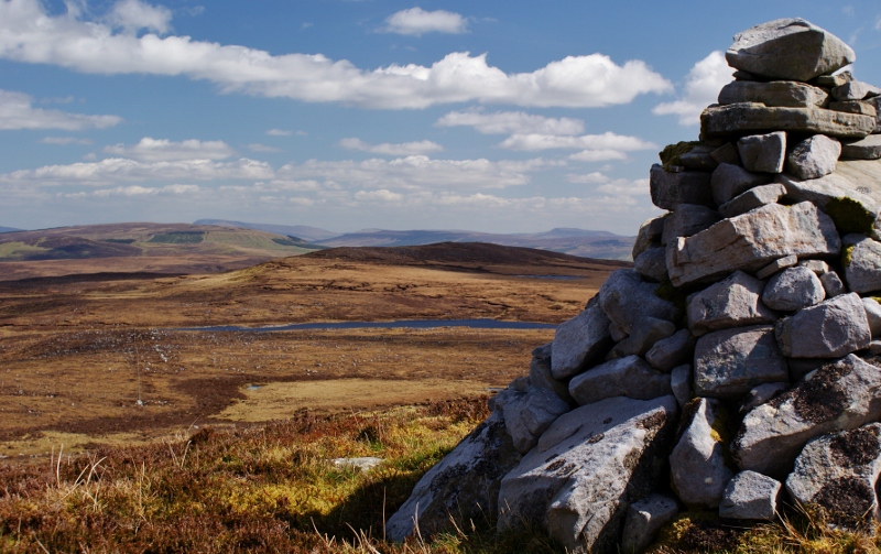
The pile of stones sits on a slight rise in a broad plateau, marking the unbuilt boundary between Aghanish and Aroo. It is a loose circle one metre across and forty centimetres high, with a second cairn forty metres to the south-south-east. The stones may have guided people across open ground before roads or fences existed, a small promise that the land was watched and known.
Marked only on the 1910 ed. of the OS 6-inch map where it is described in italic lettering as a ‘Pile of Stones’. It is located on a slight rise in a broad plateau on the line of the unbuilt townland boundary between Aghanish to the W and Aroo to the E. This is a loose pile of stone (diam. 1m; H. 0.4m) with a second cairn (LE004-003002-) c. 40m to the SSE.
Compiled by: Michael Moore
Date of upload: 4 January, 2016
The monument record does not grant public access. Check the route and ask the landowner before entering private land.
- What survives
- Recorded monument
Places near here
 Arroo MountainMountain / peak · 918 yd
 Enclosure in GorteendarraghEnclosure · 1744 yd
 Aganny TopMountain / peak · 1.5 mi
 Giant's GraveArchaeological place · 1.7 mi
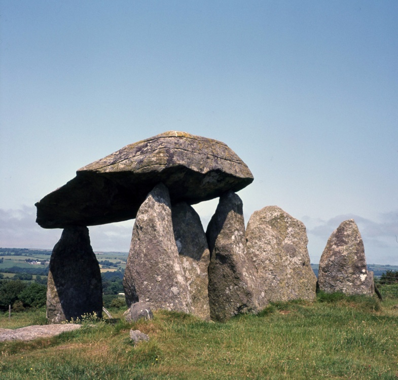 CromlechArchaeological place · 1.8 mi
 Church in Drummans (rosclogher By., Aghanlish Ed)Church · 2.3 mi
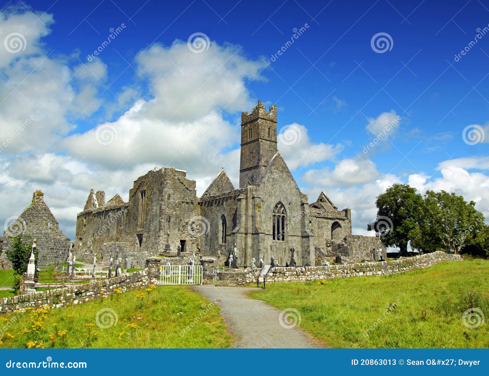 AbbeyChurch · 2.3 mi
 InisheherIslet · 2.7 mi
 Rosfriar PointHeadland · 2.9 mi
 Lareen BayBay · 3.0 mi
 InishmeanIslet · 3.2 mi
 Eagle's RockMountain / peak · 4.2 mi