What is recorded here
The official Northern Ireland record identifies this as PENITENTIAL STATION STONES (associated with Fer 0272:003, Holy Well). Recorded period: UNCERTAIN. Recorded protection: Scheduled. The official map point was placed at the centre of the recorded archaeological site from the source map reference.
Linked to a holy well and pilgrimage tradition, the Penitential Station Stones were used by pilgrims as waypoints for acts of penance, often involving prayer or physical exertion at each stone. Such sites are commonly associated with early Christian practices and may predate the specific holy well to which they are now connected.
The monument record does not grant public access. Check the route and ask the landowner before entering private land.
- What survives
- Recorded monument
Places near here
 HOLY WELL: TOBERAKILL in KiltoberHOLY WELL: TOBERAKILL · 31 yd
 Saint Mary's Church (Drummully)church/chapel · 1.0 mi
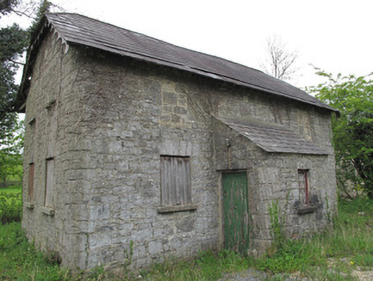 Orange HallOrange Hall · 1.2 mi
 ENCLOSURE in SandholesENCLOSURE · 1.2 mi
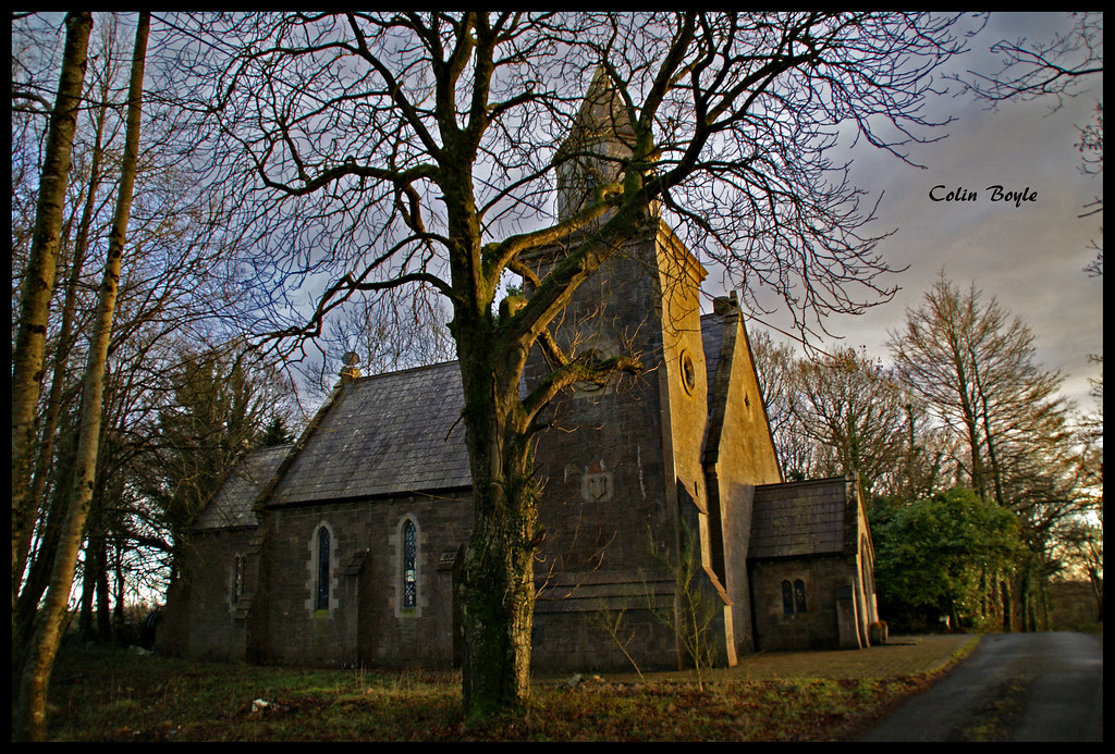 Quivvy WoodWood · 1.8 mi
 Castle Saunderson DemesneForest · 1.9 mi
 PLANTATION HOUSE & BAWN (unlocated) in LisnashillidaPLANTATION HOUSE & BAWN (unlocated) · 3.0 mi
 SandhillsMountain / peak · 3.1 mi
 Bawn in KillyfanaBawn · 3.1 mi
 DrumakeenanMountain / peak · 3.6 mi
 Estate Trail, CromWalking route · 4.1 mi
 Ulster Canal Stores Visitor CentreHeritage attraction · 4.8 mi