
What is recorded here
Marked 'Penitential Stations' on the 1907 ed. of the OS 6-inch map. This is located at or adjacent to a 'holy well' which is described the 'Archaeological Survey of County Donegal' (1983), p.304; Site No. 1690. There is no mention of the 'penitential stations' in the description of the well.
Linked to a holy well recorded in the Archaeological Survey of County Donegal, this site was associated with penitential practices, likely involving pilgrimage and ritual cleansing. Such stations were often connected to early Christian traditions of pilgrimage, particularly to sites venerated for their spiritual or healing properties.
The monument record does not grant public access. Check the route and ask the landowner before entering private land.
- What survives
- Recorded monument
Places near here
 Inishkeel High Cross FragmentCross, High cross · 268 yd
 St Connell's Church / St Conall's AbbeyChurch · 278 yd
 InishkeelIslet · 316 yd
 Narin–Portnoo StrandOfficial bathing water · 1094 yd
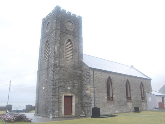 SS Conall and Mark's Church of Ireland Churchchurch/chapel · 1317 yd
 Site of Old ChurchChurch · 1346 yd
 Doon FortFairy fort / stone ringfort · 1.5 mi
 Bonny Glen WoodForest recreation place · 2.3 mi
 Bonny Glen Wood - Bonny Glen walkOfficial walking route · 2.4 mi
 Bawn in KiltoorisBawn · 2.8 mi
 CastleRuins · 2.8 mi
 DooeyOfficial bathing water · 3.0 mi
Other information
Photo: Credit not shown in the picture search · Rights wording not checked; contact us if this picture should be removed