What is recorded here
Located at the bottom of a W-facing slope, in a triangular grass-covered field (dims c. 60m N-S; c. 30m E-W at N) with mature deciduous trees that is at the W end of a lane. The holy well (LE033-023001-) has a cairn (dims 9.5m NE-SW; 4.5m NW-SE; max. H 0.7m) of pilgrims’ tokens adjacent to the NW. A pattern was held at the well on the last Sunday in July, called 'Garlic Sunday', until c. 1860 when it was transferred to the well at Kiltoghert (LE027-079---) (MacNeill 1962, 606).
Compiled by: Michael Moore
Date of upload: 9 December 2019
This site is associated with a penitential tradition, likely linked to early Christian pilgrimage practices in Ireland. It may have been used for ritual fasting or prayer, reflecting the broader Celtic Christian emphasis on penance and spiritual discipline.
The monument record does not grant public access. Check the route and ask the landowner before entering private land.
- What survives
- Recorded monument
Places near here
 IndicateedHoly well · 5 yd
 Sessile OakSessile Oak · 717 yd
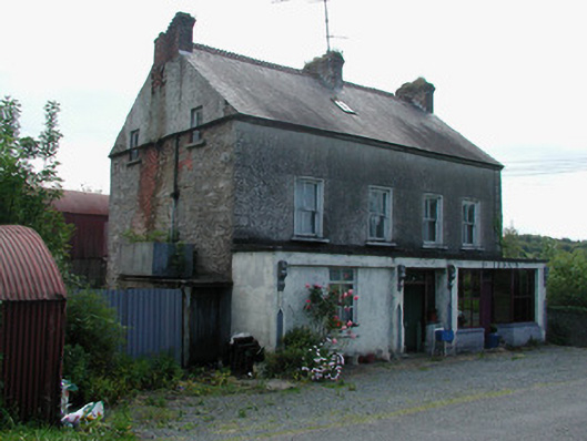 Dillon'shouse · 995 yd
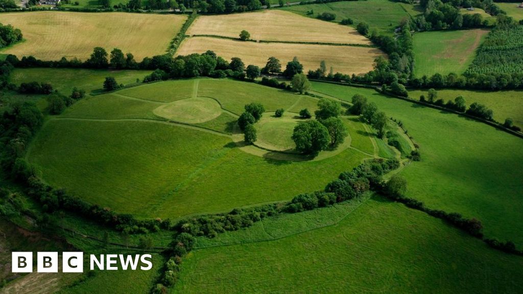 Sheean FortFairy fort / earthen ringfort · 1659 yd
 Giant's GraveArchaeological place · 1667 yd
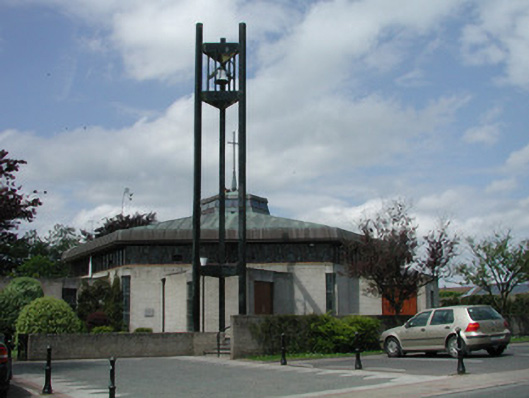 Saint Mary's Catholic Churchchurch/chapel · 1.1 mi
 Little IslandIslet · 2.9 mi
 Duck IslandIslet · 3.0 mi
 Turlough O'Carolan MonumentHeritage attraction · 3.0 mi
 Lawson's CypressLawson's Cypress · 3.3 mi
 CastleCastle, tower house · 3.6 mi
 North Midland Transport CollectionMuseum · 4.0 mi