What is recorded here
Map note: Find the recorded point for Paths to Health, visitor information near Kirkwall, Orkney Islands, Scotland. Bring your curiosity; check the map before chasing the horizon.
From OpenStreetMap (© OpenStreetMap contributors) n13408881005
Places near here
Photo credits
- Leo, Wikimedia Commons · CC BY-SA 2.0
- Bob Embleton, Wikimedia Commons · CC BY-SA 2.0
- Maker not stated on source page, www.royalcaribbean.com
- Claire Pegrum, Wikimedia Commons · CC BY-SA 2.0
- Jo and Steve Turner, Wikimedia Commons · CC BY-SA 2.0
- Maker not stated on source page, www.pinterest.com
- Andy Farrington, Wikimedia Commons · CC BY-SA 2.0
- N Chadwick, Wikimedia Commons · CC BY-SA 2.0
 PickaquoyBurnt Mound (prehistoric), Cup and Ring Marked Stone (prehistoric) · 280 yd
 Kirkwall, Peedie SeaBoating Lake (20th Century), Lake · 423 yd
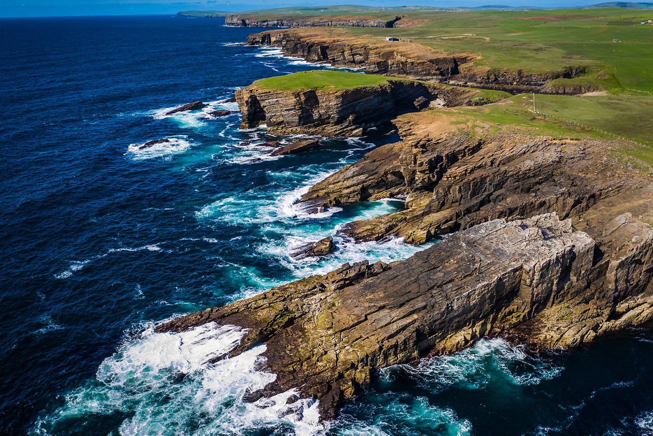 Carolina: Kirkwall Beach, Bay of Kirkwall, OrkneyShip (19th Century) · 456 yd
 KirkwallMidden(s), Sea Defences, Structure(s) · 456 yd
 Kirkwall, Castle Street, Masonic HallMasonic Hall (19th Century) · 730 yd
 Kirkwall, Castle Street, GeneralGeneral View (20th Century) · 755 yd
 Kirkwall, Castle Street, B B C Radio OrkneyBank (financial) (20th Century), Radio Broadcasting Studio (20th Century) · 768 yd
 Kirkwall, CastleCastle (medieval) · 770 yd
 Kirkwall, Albert Street, the Big TreeTree · 803 yd
 Earl's PalaceHeritage attraction · 958 yd
 The stone ChevroletHeritage attraction · 1572 yd
 St Olaf's CemeteryBuilding · 1.0 mi
More viewpoints and information in Orkney Islands · All of Orkney Islands

What do you know about this place?Tap to add a comment or ask a question