
What is recorded here
In a field of tillage near the shoreline. Shown on Duncan's map (1821) as a 'moat'. Located on headland north of Lowther Lodge. Extensive views of the coastline up to the Mourne Mountains to north, Bremore tombs to south. Area c.20m EW x 20m NS of stones, slightly elevated in a field of no stone. Some stones appear water rolled (majority >0.30m diam.) granite, sandstone and smaller quartz stones. Local tradition of this being the site of a tomb-quite a lot of flint retrieved from these fields. A miniature stone axe was found in the immediate vicinity (pers coms. Kieran Campbell).
Compiled by: Geraldine Stout
Updated by: Christine Baker
Date of upload: 27 October 2014
Passage tomb, dating to the Neolithic period (c. 4000–2500 BCE). Its location on a prominent headland suggests it was a significant ceremonial or funerary site with wide visibility across the landscape.
The monument record does not grant public access. Check the route and ask the landowner before entering private land.
- What survives
- Recorded monument
Places near here
 HarbourQuay · 463 yd
 Ring-ditch in KnocknaginRing-ditch · 504 yd
 QuarryQuarry · 528 yd
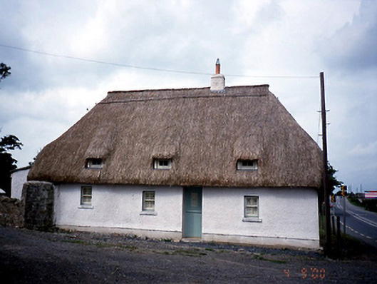 Knocknagin Cottagehouse · 573 yd
 European YewEuropean Yew · 1.2 mi
 Gormanston CastleCastle · 1.2 mi
 CastleHouse, fortified house · 1.3 mi
 SycamoreSycamore · 1.3 mi
 Ben HeadCliff · 1.6 mi
 Clonard SpringSpring · 1.9 mi
 Balbriggan Tourist OfficeVisitor information · 1.9 mi
 Balrothery Heritage CentreMuseum · 3.3 mi
Other information
Photo: Credit not shown in the picture search · Rights wording not checked; contact us if this picture should be removed