National Monument No. 66. Gallarus Oratory (
KE042-071004-) /Sáipéilín Ghallarais is situated on the lower NW slopes of Lateevemore, overlooking the broad crescent of land that surrounds Smerwick Harbour. It stands at the SE side of a large stone-walled enclosure, directly SW of a leacht-type feature at the head of which stands an Early Christian cross-slab with an inscription in half-uncial script. The enclosure measures c. 36m NE-SW x c. 44m NW-SE internally, but the W half of its outline is no longer traceable. It may originally have been oval or sub-circular in plan. The drystone enclosing wall stands to a maximum height of 1.3m and averages c. 1.3m in thickness but, though it preserves the line of the original wall, it may have undergone rebuilding and repair due to its maintenance as a field boundary and due to the use of its N section as a boundary between the townlands of Gallarus and Ballynana. An internal dividing wall isolates the SE sector, containing the oratory, leacht and cross-slab, from the remainder. This, too, was in use in the 19th century as a field boundary (2nd edition OS map). The area to E of it raised slightly above the remainder of the interior and the wall stands to a maximum height of .95m on its E side and 1.2m on its W side. Access is now provided by a modern stile at about its mid-point. At the same point, a low footing projects .26m out from the E side of the wall, for a distance of about 1.8m. The function of the short length of walling that extends W from the dividing wall is not clear. Oratory: Situated at the E side of the enclosure is the well-known 'boat-shaped' oratory, the only perfect example of its type to survive in Ireland. The building measures 6.86m x 5.74m externally. It rests on a stone plinth, c. 0.21m wide, which forms a continuous course along the N, E and S walls but rises to a slightly higher level on the W gable, where it is interrupted by the doorway. The walls are built of sandstone rubble; the external facing stones and neatly angled quoins, bedded at a slight tilt, are bevelled to give a weathered surface to the exterior. A slight sag is visible on the exterior in the centre of the N and S walls. Internally the walls are dressed to a fairly flat finish up to a height of c. 1.7m; above this the stonework has been wrought to achieve the remarkably smooth line of the corbelled vault. As the fabric of the wall is nowhere exposed in its entirety, it is not clear whether the lime mortar visible in the interior was used merely as an 'internal pointing' to the stonework (Leask 1955, 23), or was more extensively utilized as 'a structural medium' for the interior of the wall (Harbison 1970, 43). The pointed inner vault, now exhibiting a slight deflection in cross-section, is closed by flat flags 3.95m above floor level. Externally the ridge line is capped by triangular stones partly restored by the OPW. The inward curve of the gable walls is less marked at this site than at the nearby St. Brendan's oratory (
KE042-020----). The oratory measures 4.65m x 3.15m internally and the walls are c. 1 to 1.2m in thickness. The E gable is pierced by a round-headed window, 1m high internally, with splayed ingoings and inclining jambs. The deeply-plunging sill debouches on the exterior face .4m above the inner sill. The external ope is .37m in height and has a round head carved from 2 stones, one of which continues through to the inner face. A broken stone in the wall face immediately above the window may once have formed a hood. The round head on the interior, skilfully wrought from 3 stones, was accommodated to the slightly narrower width of the embrasure by a shallow offset dying into the soffit c. midway through the ope. Three corbels projecting from the internal face of the E gable, above the level of the window, may have supported a pendant lamp or book. The lintelled doorway in the W gable, c. 1.7m high, inclines in elevation from a basal width of .72m to .58m under the head. The ingoings and scontions are formed of neatly-wrought and perfectly-jointed stones and the threshold is flagged. Above the through lintel on the inner face are 2 projecting stones, each with a squared perforation, .11m wide, continued as a groove on the wall face above. These undoubtedly served to secure the door frame and a carved stone now lying loosely on the leacht may have served as the heel stone of a wooden door post. The small stone cross which presently surmounts the E gable has been placed there by the OPW; however the previous existence of a socket stone in this position indicates that the oratory had at least one gable ornament (Harbison 1970, 53-4). For a full discussion on a possible date for the erection of the oratory see Harbison 1970, 34-59. Leacht (
KE042-071002-) and Cross-slab: The cross-slab (
KE042-071003-) stands at the E end of a low rectangular mound or bed of stones, including much quartz, which measures 9m E-W x 5m N-S. The slab is 1.1m high and .3m wide. The upper part of its W face is occupied by an equal-armed cross within a circle, the head continuing at least 5cm beyond the circle and the side arms expanding slightly where they meet the circle and projecting slightly beyond it. The ornament beneath this does not form any recognisable pattern. The inscription on the lower part of the stone has been variously interpreted in the past and is now extremely faint. Macalister (1949, 96) gave the reading:
COLUM MAC DINET
The 1st word can still be read but the other two are not clear. MAC is possible but not certain. Dinet is also possible but the 1st letter is barely traceable, the next could be M or IN, the E is clear and the final letter appears to be a C but could possibly be T.
The above description is derived from J. Cuppage, ‘Corca Dhuibhne. Dingle Peninsula archaeological survey. Ballyferriter. Oidhreacht Chorca Dhuibhne’ (1986), no. 839.

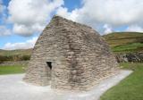 Gallarus OratoryHeritage attraction · 14 yd
 Gallarus CastleCastle · 607 yd
 Gallarus Castle (in ruins)Castle, tower house · 610 yd
 Cathair Deargan Stone FortArchaeological place · 1086 yd
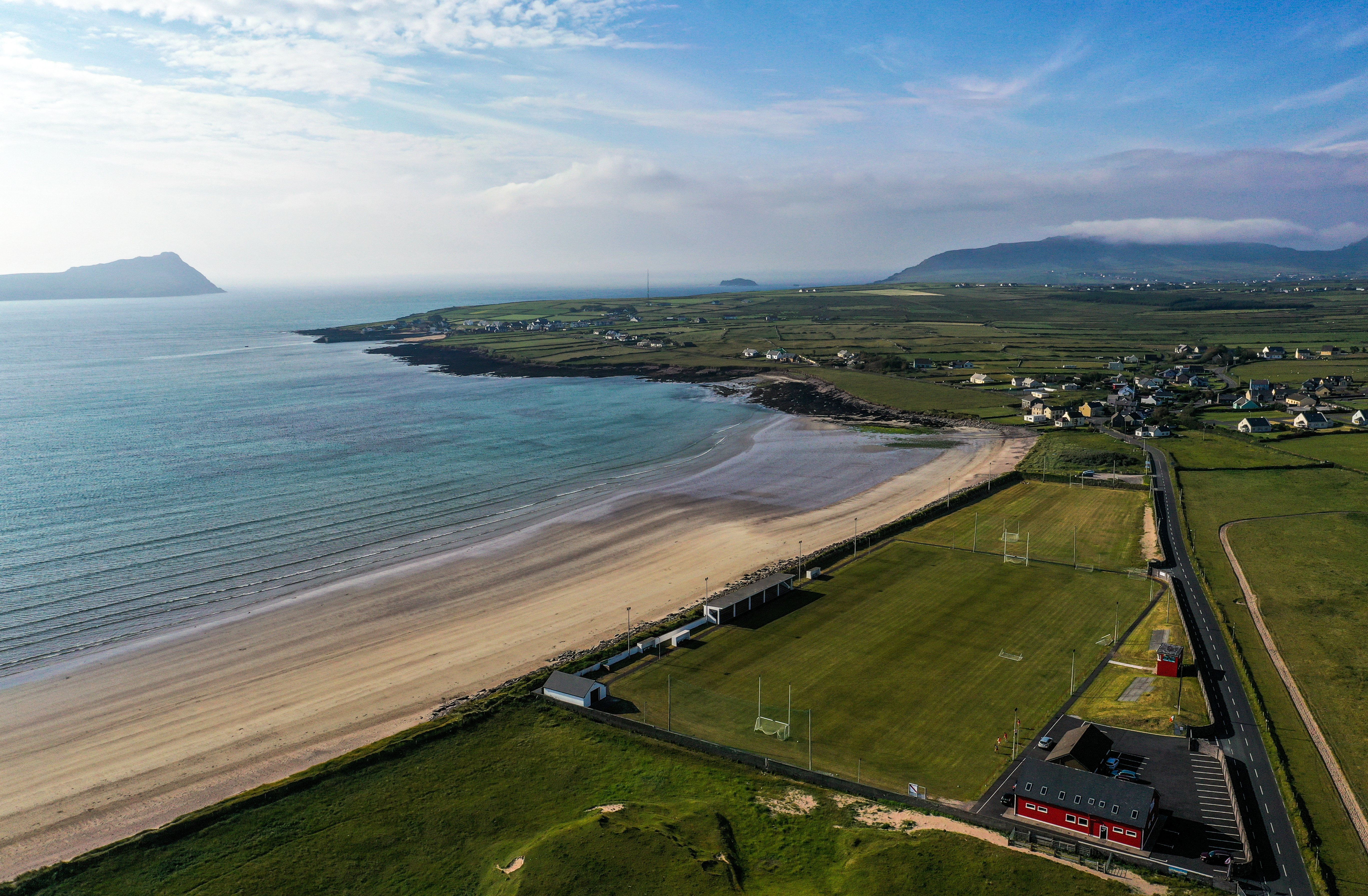 Gallarus, An GhaeltachtGAA ground · 1546 yd
 Murreagh Church (Kilmalkedar)Church/chapel · 1593 yd
 Kilmalkedar Church in ruinsChurch · 1.0 mi
 KilmalkeaderEcclesiastical site · 1.0 mi
 Riasc Monastic SettlementHeritage attraction · 1.7 mi
 Cuan Ard na CaithneBay · 2.2 mi
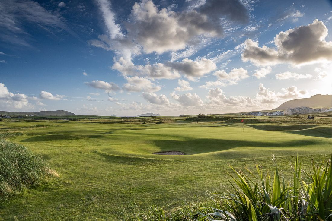 Ceann Sibeal Golf ClubGolf course · 4.0 mi
 Ceann an DúnaHeadland · 4.8 mi

What do you know about this place?Tap to add a comment or ask a question