What is recorded here
Situated in undulating pasture, in the centre of ringfort (WM018-035001-). A possible Man-made underground passage (WM018-036----) lies c. 400m to NE. Not depicted on the 1837 ed. OS 6-inch map or the revised 1913 ed. OS 25-inch map.
Described in 1983 as a long, low, rectangular-shaped mound (approx. dims. 22m NE-SW; 9m NW-SE) of earth and stone which is best preserved along the W side. An opening into a Man-made underground passage at the E end is visible by the removal of one of the capstones. This reveals a well-preserved stone built passage running NE-SW.
See attached sketch plan and profile of monument surveyed and drawn by the ASI.
Compiled by: Alison McQueen, Vera Rahilly and Caimin O’Brien
Date of upload: 11 January 2019
The monument record does not grant public access. Check the route and ask the landowner before entering private land.
- What survives
- Recorded monument
Places near here
 Partially outlinedFairy fort / earthen ringfort · 16 yd
 OutlinedEnclosure · 564 yd
 Site of CastleCastle, unclassified · 1218 yd
 Milltown Castle in ruinsCastle, unclassified · 1302 yd
 Ancient Ring FortWood · 1401 yd
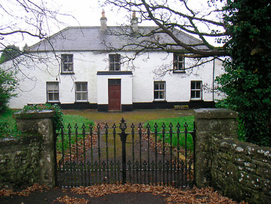 Ballyglass Househouse · 1666 yd
 P. Gunninghouse · 1708 yd
 Baronstown ForestWood · 4.0 mi
 Carrickphilbin IslandIslet · 5.1 mi
 Craft WorkshopHeritage attraction · 7.5 mi
 Guest ServicesVisitor information · 7.6 mi
 Goldsmith Birthplace, PallasVisitor information · 7.6 mi