What is recorded here
Situated in fairly flat pasture, with good views of the surrounding landscape. Ringfort (WM037-007----) lies c. 120m to NE. Depicted on the first ed. OS 6-inch map as a circular-shaped tree-planted earthwork. Shown on the revised 1910 ed. OS 25-inch map as a semicircular-shaped enclosure. Monument described in 1973 as a roughly circular-shaped area (diam. 49m) enclosed by a low earthen bank with slight traces of an external fosse. The low earthen bank is visible from ENE-S-W where it has been incorporated into a field boundary. The interior rises from the perimeter towards the centre and is uneven with a number of dips and rises. Monument is visible today as a semicircular-shaped tree-lined earthwork on Digital Globe aerial photography and is cut by a farm road running across the N quadrant.
Compiled by Alison McQueen, Vera Rahilly and Caimin O’Brien.
Date of upload: 16 December 2019
The monument record does not grant public access. Check the route and ask the landowner before entering private land.
- What survives
- Recorded monument
Places near here
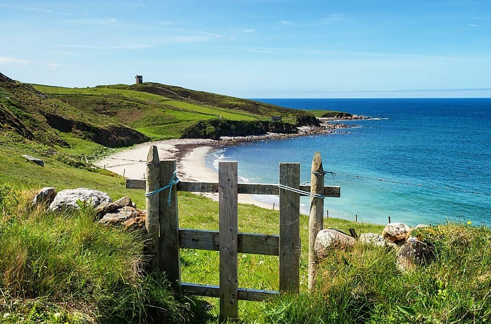 OutlinedFairy fort / earthen ringfort · 187 yd
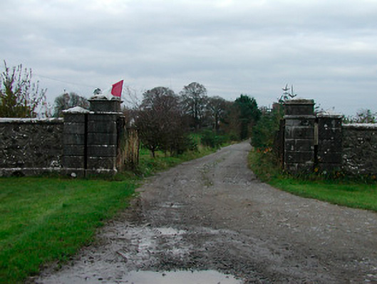 Correagh Cottagegates/railings/walls · 343 yd
 Enclosure in BallykilcrossEnclosure · 1220 yd
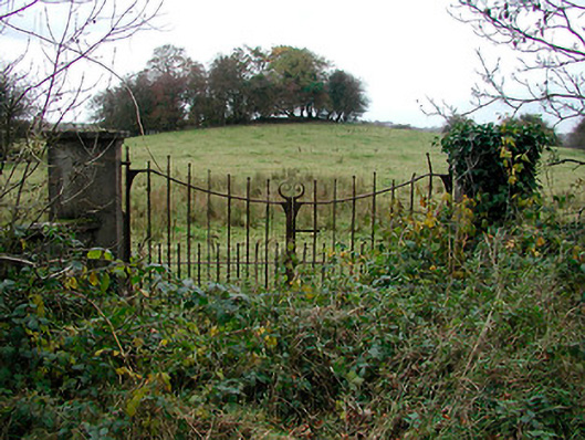 gates/railings/wallsgates/railings/walls · 1294 yd
 Bawn in CoolaloughBawn · 1760 yd
 CastleCastle, unclassified · 1.3 mi
 Kilmalady HillMountain / peak · 1.3 mi
 Chapel HillForest · 2.8 mi
 High WoodWood · 3.2 mi
 St. Columba's WellSpring · 3.6 mi
 ToberaskeenSpring · 4.0 mi
 Roughan HillMountain / peak · 4.3 mi