What is recorded here
Situated on a low rise of ground in grassland. Roman Catholic chapel and ringfort (WM013-089----) located 290m to SSE. No surface remains visible of levelled chapel which is depicted as a small rectangular building orientated N-S on the 1838 ed. OS 6-inch map. On this map the chapel stands in the W quadrant of a small irregular shaped area defined by several field banks all of which have ben levelled. The chapel stood surrounded by a series of linear earthworks (WM013-088001-) that are clearly visible on aerial photographs taken in July 1970 (CUCAP BDV087-8). These earthworks were levelled in the early 1970s and today only the faintest cropmarks of these levelled earthworks are visible on Digital Globe aerial photograph. It is not clear whether these earthworks represent the remains of a medieval field system or are settlement earthworks associated with the chapel.
Compiled by: Frank Coyne and Caimin O'Brien
Date of upload: 24 July 2018
The monument record does not grant public access. Check the route and ask the landowner before entering private land.
- What survives
- Recorded monument
Places near here
 Chapel in ruinsChapel · 32 yd
 Saint Joseph's Catholic Churchchurch/chapel · 304 yd
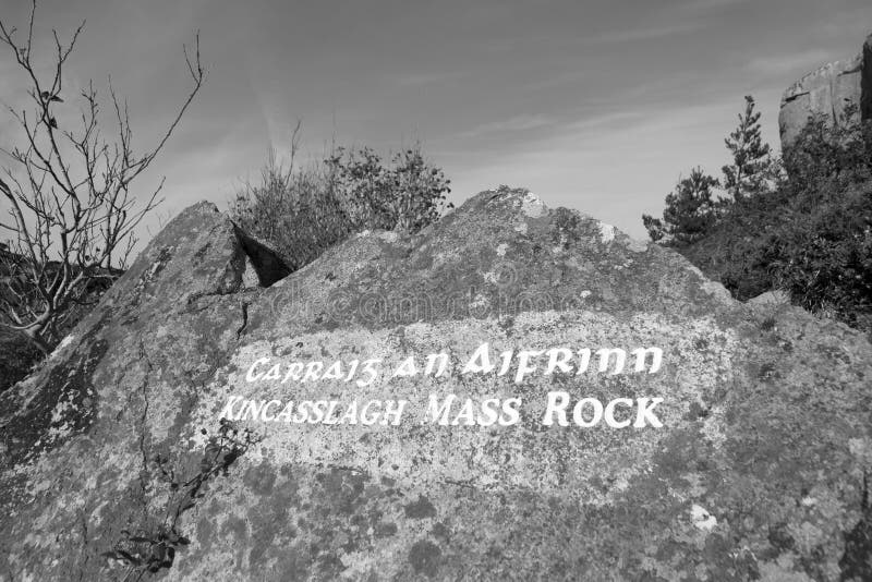 Mass-rock in TevrinMass-rock · 344 yd
 Partially hachuredFairy fort / earthen ringfort · 369 yd
 OutlinedCastle, unclassified · 1736 yd
 GinkgoGinkgo · 1.4 mi
 Site of Fennor CastleCastle, tower house · 1.4 mi
 KnockeyonMountain / peak · 5.6 mi
 The FurzeForest · 6.1 mi
 Kells HillMountain / peak · 8.9 mi
 Croppies' GraveMemorial · 12 mi
 Hachured, RathmoreFairy fort / earthen ringfort · 861 yd