What is recorded here
Situated on S-facing slope of a steep hill, in demesne woodland with good views in all directions, particularly of Mount Dalton Lough to S. Depicted as an oblong-shaped feature (approx. dims. 16m N-S; 11m E-W) truncated by a trackway at S, on the 1837 OS 6-inch map. Depicted as a roughly oval-shaped area (approx. dims. 38m NE-SW; 21m NW-SE) with straightened sides on the revised 1913 OS 25-inch map. Described in 1983 as having no surface remains visible and occupied by a modern plantation. Monument is obscured by a tree-planted area on Digital Globe aerial photography.
Not depicted as an antiquity on any edition OS 6-inch map and located on the demesne lands of Mount Dalton House located 340m to E. Could be the remains of a pond or landscape feature of post-1700 date associated with the landscaping of the demesne lands of Mount Dalton House now Loughazon Hall.
Compiled by: Alison McQueen, Vera Rahilly and Caimin O’Brien
Date of upload: 09 January 2019
The monument record does not grant public access. Check the route and ask the landowner before entering private land.
- What survives
- Recorded monument
Places near here
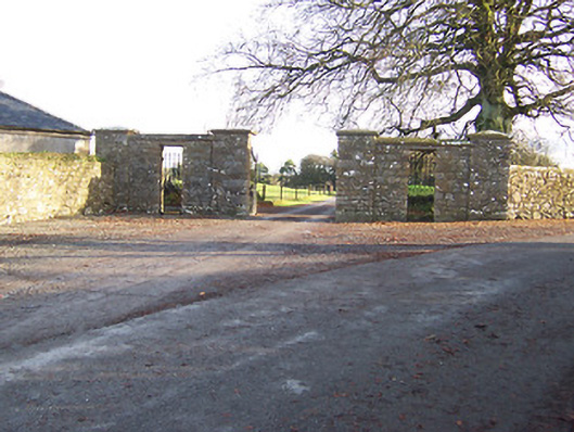 Mount Dalton Housegates/railings/walls · 275 yd
 Hut site in Ballynacarrow (rathconrath By.)Hut site · 340 yd
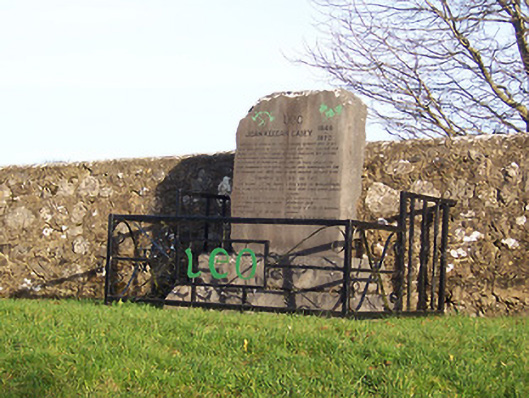 John Keegan Casey Monumentmonument · 433 yd
 Hut site in Farthingstown (rathconrath By.)Hut site · 575 yd
 Ancient Ring FortWood · 1.1 mi
 RathconrathCastle, motte · 1.1 mi
 CastleCastle, unclassified · 1.2 mi
 Hill of UisneachMountain / peak · 2.2 mi
 European ashEuropean ash · 2.9 mi
 Abbeyshrule AbbeyRuins · 6.4 mi
 Guest ServicesVisitor information · 7.4 mi
 Goldsmith Birthplace, PallasVisitor information · 7.6 mi