What is recorded here
In 1972 it was recorded that 'according to local information there are remains of an old 'cobbled' road near the present road which was built after the famine. The older road is said to have been built by Cromwell' (SMR file 1972). In 1984 the site was visited and it was recorded that 'there are no traces of the cobbled road surviving today but the track of the old road can still be traced' (SMR file 1984). The extent of this possible old roadway can seen where it is partially indicated on the first edition of the OS 6-inch map.
Traces of a linear bank representing the remains of this old roadway are visible today running parallel to a field boundary on Digital Globe aerial photographs.
Compiled by: Caimin O'Brien
Date of upload: 21 October 2010
The monument record does not grant public access. Check the route and ask the landowner before entering private land.
- What survives
- Recorded monument
Places near here
 OutlinedFairy fort / earthen ringfort · 1418 yd
 Rathcastle Househouse · 1669 yd
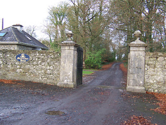 Mearscourt Housedemesne walls/gates/railings · 1732 yd
 Partially hachuredFairy fort / earthen ringfort · 1.0 mi
 Hachured, 420 ODCastle, motte · 1.1 mi
 Milltown Castle in ruinsCastle, unclassified · 2.0 mi
 Ancient Ring FortWood · 2.2 mi
 Sessile OakSessile Oak · 3.0 mi
 Abbeyshrule AbbeyRuins · 4.4 mi
 Craft WorkshopHeritage attraction · 5.2 mi
 Guest ServicesVisitor information · 5.2 mi
 Goldsmith Birthplace, PallasVisitor information · 5.5 mi