What is recorded here
Nohoval held a vast U-shaped ecclesiastical enclosure around its church ruins, yet later surveys found no physical trace of that boundary. The missing line suggests a place where human memory and official record diverge, leaving behind a ghost shape rather than a visible wall.
In 2010 a graveyard survey of Nohoval carried out by Laurence Dunne recorded the following details: 'there is no archaeological or cartographic evidence of an ecclesiastic enclosure' (Dunne 2010, 3). Possible ecclesiastical enclosure described by O'Hare (2000, 85) 'The outline of a large, approximately U-shaped enclosure (diam. c. 460m), which may once have been circular in outline, surrounding the ruins of Nohoval Church (KE039-014001-) and graveyard (KE039-014003-), is most clearly visible on the OS first edition. The greater part of this enclosure, which included portions of Glebe land, is located within the townland boundary of Nohoval South. The curing outline of the enclosure forms the townland boundary on the south-west'.
Compiled by: Caimin O'Brien
Date of upload: 3 June 2022
The monument record does not grant public access. Check the route and ask the landowner before entering private land.
- What survives
- Recorded monument
Places near here
 Nohaval Church (in ruins)Church · 53 yd
 Enclosure in Ballyegan (trughanacmy By.)Enclosure · 776 yd
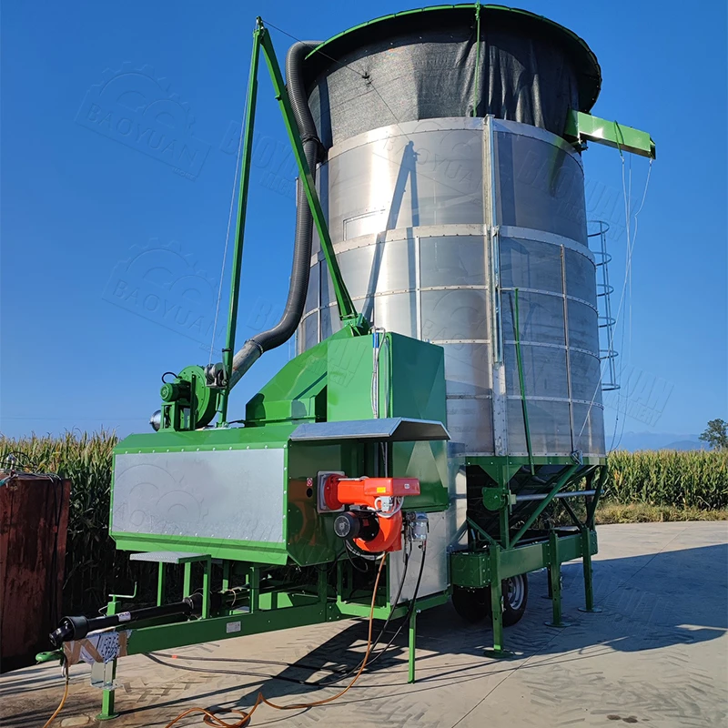 KilnKiln, corn-drying · 977 yd
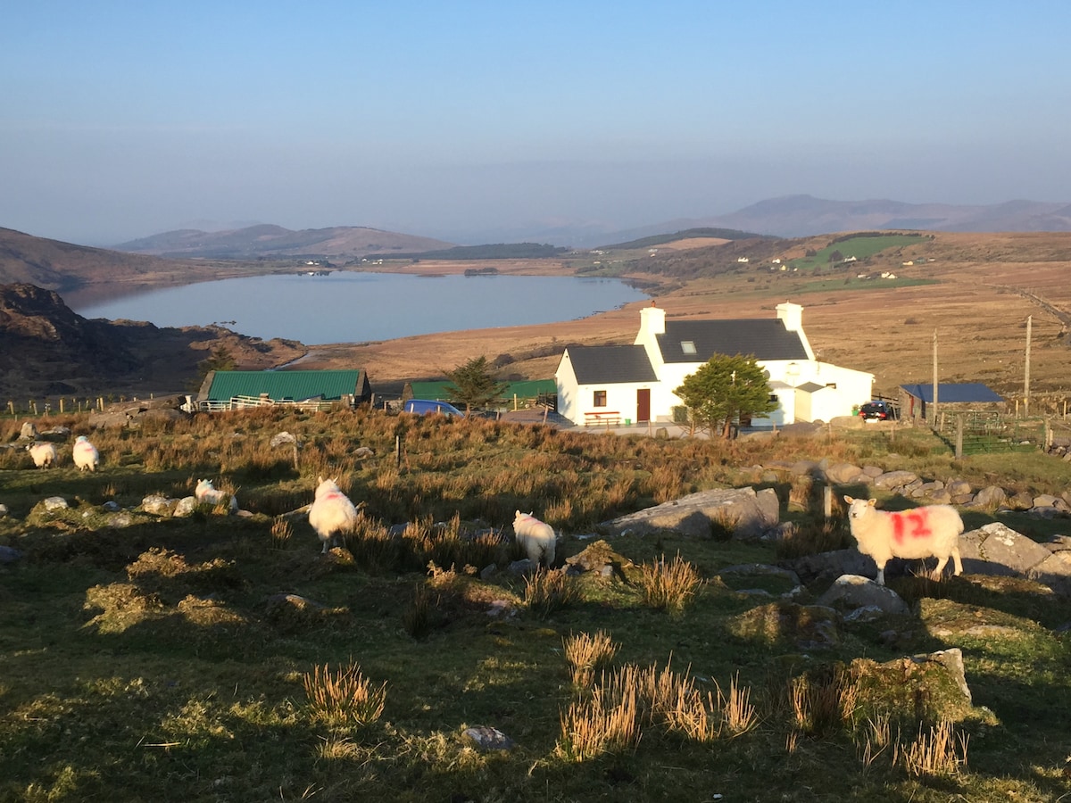 Hut site in Garraun MoreHut site · 1.1 mi
 (Site of) Desmond CastleCastle, unclassified · 1.8 mi
 Site of Rockfield Ho.Castle, unclassified · 2.0 mi
 Crag CaveCave · 3.3 mi
 PoulatouirtCave · 4.0 mi
 Common AlderCommon Alder · 5.0 mi
 Ballincollig HillMountain / peak · 5.0 mi
 Stack's MountainMountain / peak · 5.4 mi
 Ballygamboon Forest Recreation AreaWood · 7.1 mi