
What is recorded here
Rockfield House may occupy the exact ground where the medieval castle of Lermerichaell stood before King James I granted the land to Giles Herbert in 1608. The castle vanished without a visible ruin, leaving only a dotted rectangle on an 1841 map and a house built above its forgotten bones. What remains is a ghost in stone, buried under grass and time, waiting for someone to notice the shape of what is missing.
Annotated 'Site of Rockfield Ho.' on 1841 ed. OS 6-inch map where a small rectangular-shape area in dotted outline is shown. This townland was known in medieval period as Lemhercahold and was renamed Rockfield in the post-1700 period. Rockfield House may have been built on the site of the medieval castle of Lermerichaell. In 1608 King James I regranted in ‘favour of Giles Herbert, son of Charles Herbert, esq. one of the undertakers of escheated lands in Munster, for the abatement of quit rent, and a regrant of the castle of Lindericke, which was to be called Ballyamckellicott’ (Cal. pat. rolls Ire., Jas I, 134). No surface remains visible on Digital Globe orthoimage taken between 2011-13.
Compiled by: Caimin O'Brien
Date of upload: 30 May 2022
The monument record does not grant public access. Check the route and ask the landowner before entering private land.
- What survives
- Recorded monument
Places near here
 Enclosure in Ballydwyer EastEnclosure · 1151 yd
 Enclosure in Clogher (trughanacmy By.)Enclosure · 1278 yd
 Site of McElligotts CastleCastle, unclassified · 1.0 mi
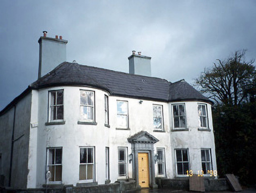 Arabela Househouse · 1.1 mi
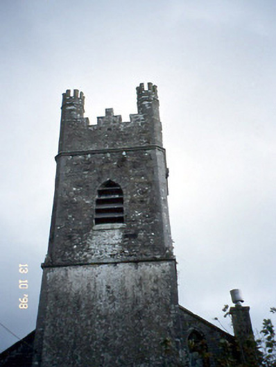 Ballymacelligott Churchchurch/chapel · 1.2 mi
 Bealagrellagh CastleCastle · 1.9 mi
 PoulatouirtCave · 2.2 mi
 Poulclashcannon (blocked)Cave · 2.2 mi
 Common AlderCommon Alder · 3.0 mi
 Monument WoodWood · 3.5 mi
 Ballincollig HillMountain / peak · 4.0 mi
 CruslineMountain / peak · 4.7 mi
Other information
Photo: Credit not shown in the picture search · Rights wording not checked; contact us if this picture should be removed