
What is recorded here
Not represented on the 1st ed. OS 6-inch map (1841) and indicated as a single-banked oblong hachured enclosure (c. 38m NW-SE by c. 30m NE-SW) on the OS 25-inch plan (1892). The monument was removed in the course of quarrying prior to 1995.
Compiled by: Paul Walsh
Date of upload: 16 August 2015
The monument record does not grant public access. Check the route and ask the landowner before entering private land.
- What survives
- Recorded monument
Places near here
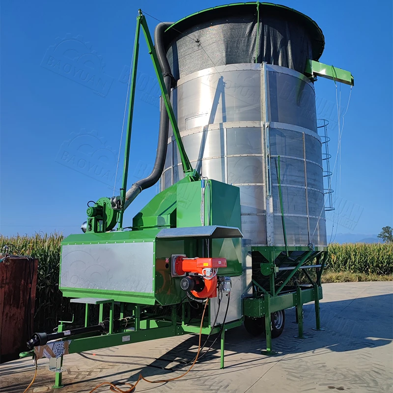 KilnKiln, corn-drying · 500 yd
 Nohaval Church (in ruins)Church · 795 yd
 TobereendoneyHoly well · 1734 yd
 LissaphuraArchaeological place · 1.2 mi
 Site of Rockfield Ho.Castle, unclassified · 1.7 mi
 (Site of) Desmond CastleCastle, unclassified · 2.0 mi
 Crag CaveCave · 3.7 mi
 PoulatouirtCave · 3.8 mi
 Common AlderCommon Alder · 4.7 mi
 Ballincollig HillMountain / peak · 5.0 mi
 Stack's MountainMountain / peak · 5.5 mi
 Ballygamboon Forest Recreation AreaWood · 6.6 mi
Other information
Photo: Credit not shown in the picture search · Rights wording not checked; contact us if this picture should be removed