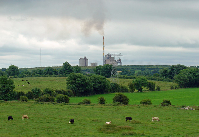
What is recorded here
One sentence only. Multyfarnham still keeps a flat-topped castle mound beside St. Nicholas’ Church, with the River Gaine running seventy metres east and a medieval graveyard waiting southwest. The churchyard walls and village gardens have bitten into its north and west, but the east and south remain steep, as if the mound is still defending what it once held.
Small flat-topped motte located immediately E of St. Nicholas’ R.C. Church and 70m W of the River Gaine in the village of Multyfarnham. Medieval church (WM006-061----) and graveyard (WM006-061001-) located 110m to SW. Described in 1985 as following; ‘The motte (top diam. 9.8m WSW-ENE; 12m NNW-SSE) is located on the E side of a low ridge with the River Gaine just to the E of it. It is a well preserved motte on the edge of Multyfarnham village. There is no indication of a bailey and if one existed it probably occupied the area now to the W of the motte as the natural slope is from the W to the E down to the nearby River Gaine. This area is now occupied by St. Nicholas R.C. Church’ (SMR File, 12/03/1985). A second report from 1985 recorded that the monument consisted of ‘a large roughly circular mound of earth and some stones. The N and W sides of the motte have been defaced by the boundary walls of a churchyard (on W) and by yards and gardens (on N). The E and S sides of the mound are regular and steep. A fosse-like depression at the base of the mound from SE-S-SSW continues on along the S side of the churchyard S wall’ (SMR File). The flat-topped mound may be the site of the unlocated levelled castle (WM006-060----) that is depicted on the 1659 Down Survey parish map of Multyfarnham (NLI, MS 723-4). A preservation order was placed on this monument in 1985.
Compiled by: Caimin O’Brien
Date of upload: 22 November 2015
The monument record does not grant public access. Check the route and ask the landowner before entering private land.
- What survives
- Recorded monument
Places near here
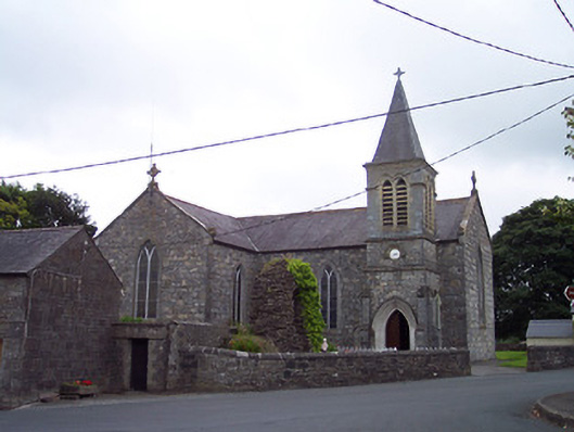 Saint Nicholas's Catholic Churchchurch/chapel · 24 yd
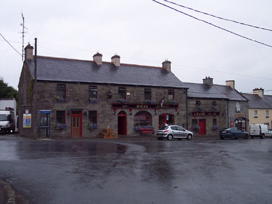 Weirspublic house · 69 yd
 ConventEcclesiastical site · 398 yd
 Bridge Memorial (Kenna)Memorial · 447 yd
 CastleCastle, unclassified · 543 yd
 Partially outlinedFairy fort / ringfort · 1538 yd
 Carrick CastleCastle · 2.3 mi
 Scragh Bog Nature ReserveNature reserve · 3.3 mi
 Church IslandIsland · 3.9 mi
 Carrickphilbin IslandIslet · 4.1 mi
 Lady's IslandWood · 4.5 mi
 Seafin HillMountain / peak · 10 mi
Other information
Photo: Credit not shown in the picture search · Rights wording not checked; contact us if this picture should be removed