What is recorded here
In grassland, with gravel quarry immediately to W, townland boundary with Farnane 140m to the W. The 1840 OS 6-inch map depicts a sub-circular shaped area enclosed by a bank with a gravel pit 50m to the W and post-1700 field boundaries radiating out from the N, E and S. On the 1897 OS 25-inch map the area is depicted as an irregular shaped field enclosure (approx. dims. 37m NW-SE x 28m NE-SW) with an opening at NW. The outline of the enclosure is indicated with a solid line in the same fashion as the surrounding field boundaries and no antiquity is depicted at this location. Digital Globe imagery taken 2011-2013 shows an irregular shaped enclosure with field boundaries radiating from N, E, S and NW. Google Earth orthoimage taken 28/06/2018 shows that the enclosing element only survives at N, elsewhere it has been levelled. Roadways have been constructed across the N and S side of the monument to gain access to the gravel quarry located immediately to the W and the trees from the interior have been cleared.
See attached Google Earth orthoimages taken 28/06/2018, 25/05/2017, 25/03/2017
Compiled by: Martin Fitzpatrick
Date of upload: 10 June 2020
The monument record does not grant public access. Check the route and ask the landowner before entering private land.
- What survives
- Recorded monument
Places near here
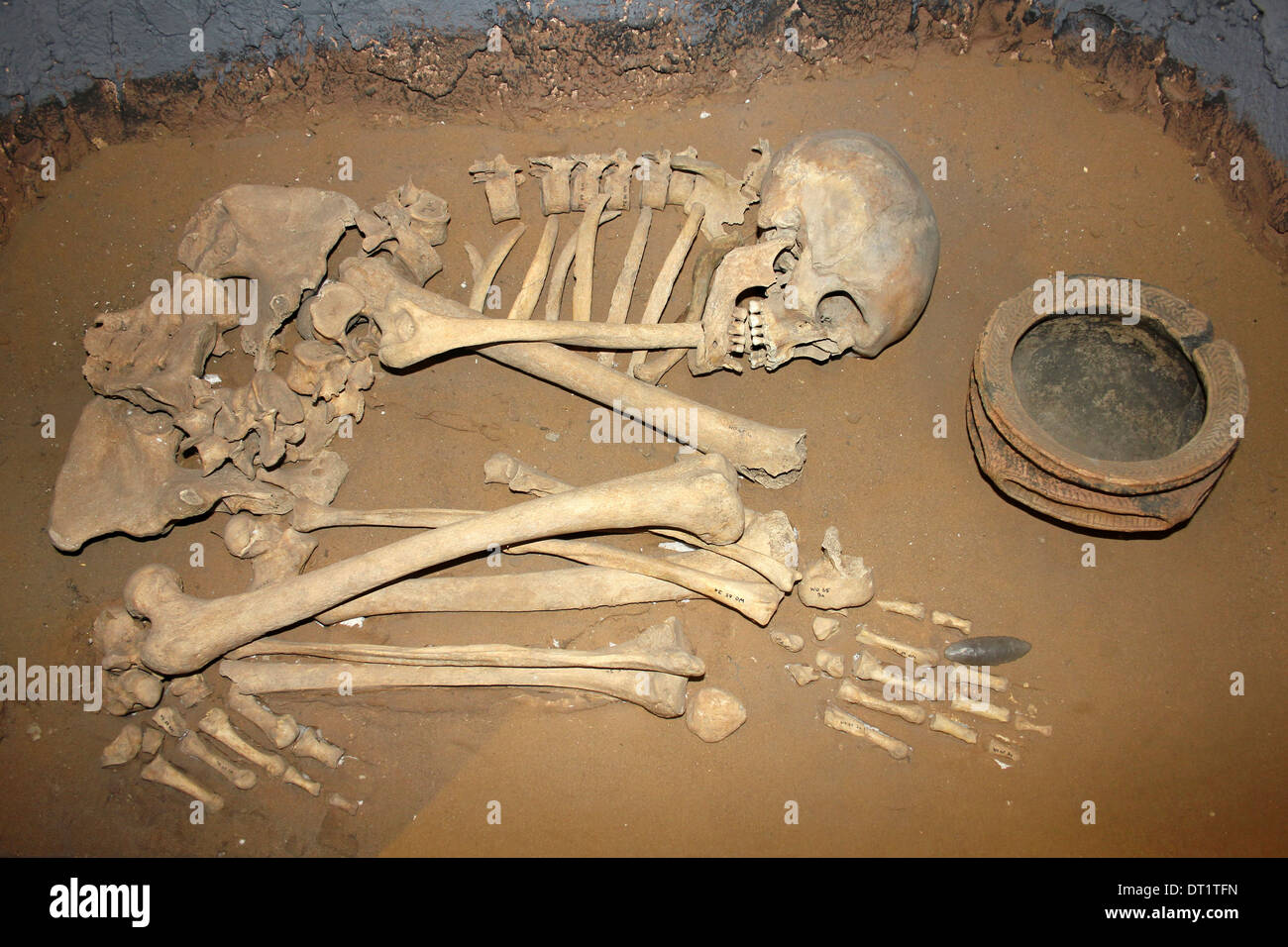 BarrowBarrow, ditch barrow · 629 yd
 Enclosure in AhacoreEnclosure · 647 yd
 Castle Comforthouse · 1024 yd
 Maddyboy Househouse · 1345 yd
 Graveyard in AbingtonGraveyard · 1687 yd
 CastleCastle, unclassified · 1729 yd
 Sliev Felim WayVisitor information · 1.2 mi
 Bawn in RathBawn · 1.8 mi
 Slieve Felim WayWalking route · 4.3 mi
 Slieve FelimMountain / peak · 5.3 mi
 KnockseefinMountain / peak · 6.5 mi
 St. Patrick's WellSpring · 8.3 mi