
What is recorded here
Situated on a prominent knoll on the lower W face of a large ridge, with good views to from S-W-NW. The stream which marks the townland boundary with Knockatee lies 100m to SW. Ringfort (WM012-135---) 50m to E. Depicted as an oval shaped enclosure on the 1837 ed. OS 6-inch map with ‘Mountain R.C. Chapel’ immediately to the SE. The monument is shown as a kidney shaped earthwork on 1911 ed. OS 25-inch map indicating that the E quadrant of the site was partially quarried away between these map dates. This poorly preserved site has been substantially levelled by quarrying. Now visible as an elongated scarped oval shaped area (approx. diam. 40m N-S; 15m E-W) enclosed by a poorly preserved bank of earth and stone. Quarrying has removed part of the NE quadrant and a small portion of the perimeter at W. There is an entrance gap (Wth 2.3m) and a sloping causeway (Wth 2.1m; H 0.9m) at SW. This entrance feature may be of recent origin, possibly related to the quarrying. The interior rises towards the centre, with cultivation ridges running NE-SW. A field fence running ENE-WSW intersects the perimeter of the monument at S. The site is now covered in trees as shown on Digital Globe aerial photograph taken November 2011.
Compiled by: Frank Coyne and Caimin O'Brien
Date of upload: 6 March 2018
The monument record does not grant public access. Check the route and ask the landowner before entering private land.
- What survives
- Recorded monument
Places near here
 Partially hachuredFairy fort / earthen ringfort · 306 yd
 Rathcloghrin outlinedFairy fort / earthen ringfort · 1234 yd
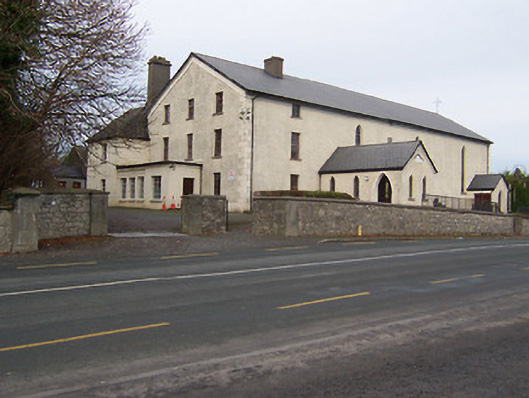 Catholic Church of the Assumptionchurch/chapel · 1333 yd
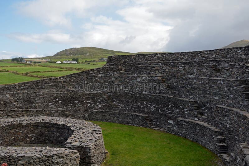 Ancient Ring FortRuins · 1567 yd
 Taghmon CastleCastle, tower house · 1.1 mi
 Long PlantingForest · 2.3 mi
 Scragh Bog Nature ReserveNature reserve · 3.2 mi
 Church IslandIsland · 3.8 mi
 Castle (in Ruins)Castle, tower house · 3.9 mi
 Saint Brigid's WellSpring · 3.9 mi
 United Nations War MemorialMemorial · 4.4 mi
 Srudarra IslandIslet · 4.7 mi
Other information
Photo: Credit not shown in the picture search · Rights wording not checked; contact us if this picture should be removed