
What is recorded here
Situated on a slight NNW-facing slope, in pasture with good views to NNW. Depicted on the 1837 OS 6-inch map as a D-shaped tree-lined enclosure with straight side to WNW and field boundary extending from N. Annotated ‘fort’ on the 1837 OS Fair plan map. Depicted on the revised 1913 ed. OS 25-inch map as a roughly D-shaped earthwork with straight side along WNW and a roughly curvilinear enclosing element from N-E-S-W and an external fosse from SE-S-W. Levelled monument described in 1980 as no surface remains visible. Levelled ringfort visible as a roughly D-shaped cropmark on Digital Globe aerial photography.
Compiled by: Alison McQueen, Vera Rahilly and Caimin O’Brien
Date of upload: 19 December 2018
The monument record does not grant public access. Check the route and ask the landowner before entering private land.
- What survives
- Recorded monument
Places near here
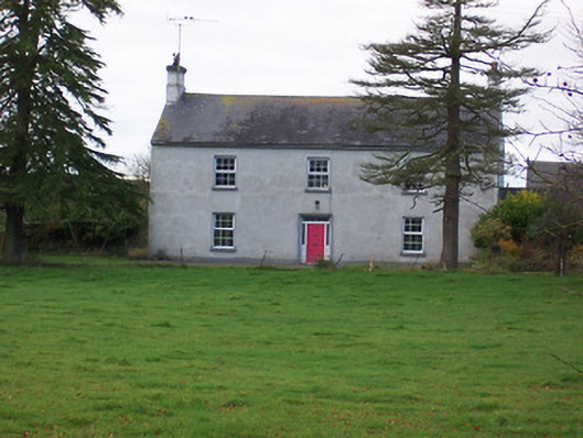 Dalystown Househouse · 730 yd
 Church (in Ruins)Church · 1366 yd
 OutlinedFairy fort / earthen ringfort · 1676 yd
 IndicatedFairy fort / earthen ringfort · 1.2 mi
 Hachured, 420 ODCastle, motte · 1.2 mi
 Site of Doon CastleCastle, ringwork · 1.9 mi
 Sessile OakSessile Oak · 2.7 mi
 Ancient Ring FortWood · 2.8 mi
 Abbeyshrule AbbeyRuins · 4.4 mi
 Craft WorkshopHeritage attraction · 4.8 mi
 Guest ServicesVisitor information · 4.9 mi
 Goldsmith Birthplace, PallasVisitor information · 5.2 mi
Other information
Photo: Credit not shown in the picture search · Rights wording not checked; contact us if this picture should be removed