
What is recorded here
Sited on a slight rise, in gently undulating and hilly pasture with good views from SE-W. Monument described in 1971 and 1976 as a circular-shaped area (diam. 49m E-W; 47m N-S) enclosed by a well-defined earthen bank with traces of an external fosse. The bank is best preserved from NW-NE, although it is has been partially levelled from SW-W. The perimeter has been modified to form part of the townland boundary from W-NNW. There is a wide gap (Wth at top 6.5m; basal Wth 3m) at E and a narrower disturbance gap at N. The interior rises slightly from the perimeter towards the centre. Modern farm sheds immediately at E have been built up against external face of enclosing bank which is clearly visible on Digital Globe aerial photographs.
See attached profile of monument surveyed and drawn by the ASI
Compiled by: Alison McQueen, Vera Rahilly and Caimin O’Brien
Date of upload: 15 July 2019
A local fairy fort (ringfort/rath); wider significance not recorded.
The monument record does not grant public access. Check the route and ask the landowner before entering private land.
- What survives
- Recorded monument
Places near here
 Partially outlinedFairy fort / earthen ringfort · 852 yd
 Ballynakill CastleCastle · 1047 yd
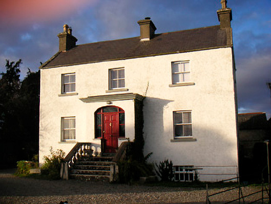 Gleberectory/glebe/vicarage/curate's house · 1064 yd
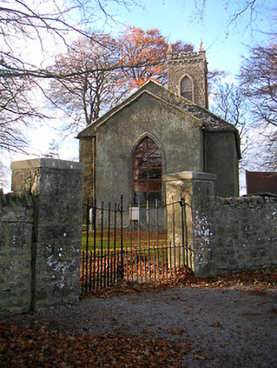 Portlick Church (Bunown)church/chapel · 1114 yd
 OutlinedFairy fort / earthen ringfort · 1684 yd
 Kilfaughny CastleCastle · 1.0 mi
 Portlick Millennium ForestWood · 1.8 mi
 Traveen BayBay · 2.1 mi
 IllanheelanIslet · 2.1 mi
 IllanfanIslet · 2.1 mi
 Traveen PointHeadland · 2.2 mi
 Noughaval CemeteryArchaeological place · 4.5 mi
Other information
Photo: Credit not shown in the picture search · Rights wording not checked; contact us if this picture should be removed