What is recorded here
Site of fort described in 1942-3 as following; 'All traces of this are now gone. It is not possible to say what it looked like (O'Kelly 1942-3, 244). Partial cropmark visible on OSi aerial photographs, no cropmark visible today on Digital Globe aerial coverage.
Compiled by: Caimin O'Brien
Date of upload: 9 March 2020
The monument record does not grant public access. Check the route and ask the landowner before entering private land.
- What survives
- Recorded monument
Places near here
 Enclosure in KilpeaconEnclosure · 327 yd
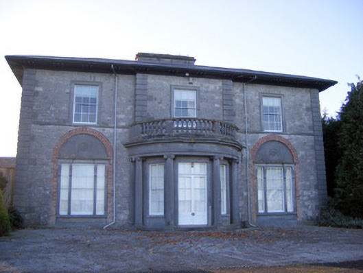 Kilpeacon Housecountry house · 559 yd
 St. Patricks WellHoly well · 846 yd
 Saint Beacon's Church (Kilpeacon)church/chapel · 901 yd
 Villiers WellSpring · 1001 yd
 (Site of) Garryellen CastleCastle, unclassified · 1.2 mi
 Dotted outlineBawn · 1.3 mi
 Monasteranenagh AbbeyHeritage attraction · 3.8 mi
 Biodiversity in the Maigue CatchmentVisitor information · 4.6 mi
 European ashEuropean ash · 4.8 mi
 Dysert AenghusaHeritage attraction · 5.3 mi
 KnockfeerinaMountain / peak · 9.5 mi