What is recorded here
In pasture immediately S of the townland boundary with Dromin North. Possible ringfort (LI039-084----) lies 45m to E. Not depicted on the 1840 ed. OSi 6-inch map. Shown on the 1897 ed. OSi 25-inch map as an irregular-shaped woodland area (dims. c. 37m N-S; 45m E-W) enclosed by field walls. On both maps it is depicted within a woodland plantation. Partially hachured on Cassini ed. OSi 6-inch map where a semi-circular shaped arc is shown at W only. The 1840 edition shows a pathway leading from a designed landscape immediately S of Dromin R.C. Chapel. The partial outline of a poorly preserved enclosure is visible on OSi orthophotos taken between 2005-12 as a roughly semi-circular-shaped area enclosed by a bank from SW-NW and levelled elsewhere. Intersected at E by field bank running E-W to ringfort (LI039-084---). Outline of monument visible on Google Earth orthoimage dated 14/09/2019. Could be the remains of a ringfort reused as a landscape feature such as a tree-ring in the post-1700 period. Alternatively could be the remains of a designed landscape feature of post-1700 date that is contemporaneous with woodland plantation.
See attached Google Earth orthoimages.
Compiled by: Martin Fitzpatrick
Date of upload: 29 April 2021
The monument record does not grant public access. Check the route and ask the landowner before entering private land.
- What survives
- Recorded monument
Places near here
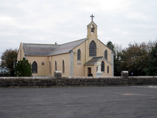 Catholic Church of the Holy Trinitychurch/chapel · 406 yd
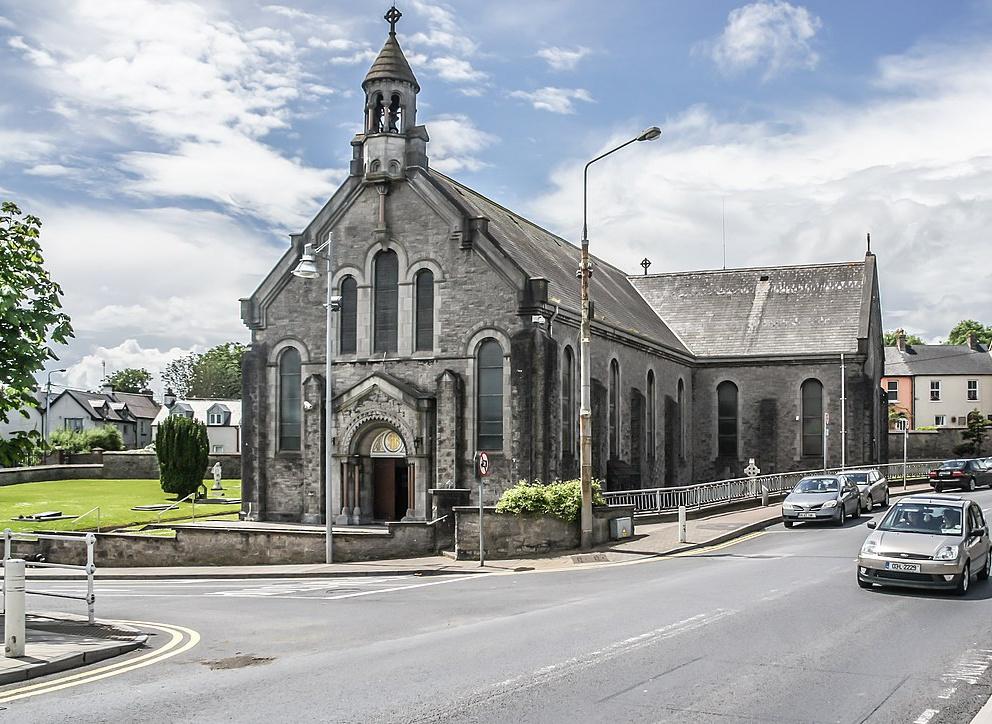 Dromin Church (in ruins)Church · 802 yd
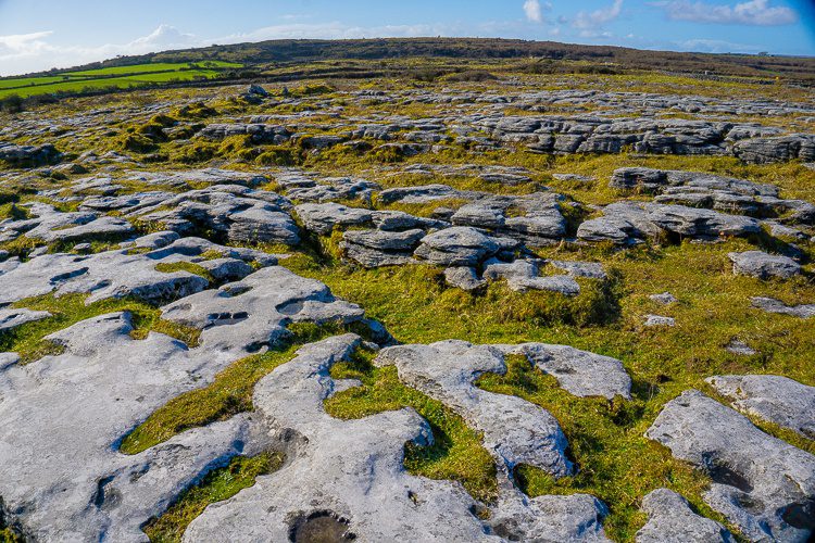 BarrowBarrow, unclassified · 813 yd
 EnclosureEnclosure, large enclosure · 1.1 mi
 Bawn in MaidstownBawn · 1.1 mi
 Bawn in Ballycullane (kilmallock By.)Bawn · 1.7 mi
 King John's CastleCastle · 2.7 mi
 St Bridget's WellSpring · 4.5 mi
 Glen BogForest · 4.9 mi
 KnockainyMountain / peak · 5.3 mi
 Flat cemetery in Knockainy WestFlat cemetery · 5.9 mi
 Ballinvreena LoopVisitor information · 7.1 mi