What is recorded here
In wet pasture 320m N of the townland boundary with Drumin South. Enclosures (LI039-081/82----) lie 400m to NE. Depicted on the 1840 ed. OSi 6-inch map as a raised circular-shaped area defined by a scarp. Shown as a partially levelled monument on the 1897 ed. OSi 25-inch map where it is depicted as a horseshoe-shaped area (dims. c. 40m NE-SW; 24m NW-SE) defined by a scarp from N-NE and at SW, open to SE an by a field boundary from SW-N. Truncated at SW by field boundary running NE-SW and E-W, at NW by a curving field drain running NE-SW. In 1840 the Ordnance Survey recorded that; ‘There is an ancient fort in the central part of the townland’ (OSNB Abbeyfeale to Bruree 643). Partially levelled monument the E half of which has been levelled. Visible as a curved field wall from S-W-N on OSi orthophoto taken between 2005-12 and on Google Earth orthoimage dated 14/09/2019 where it is intersected at N by a field boundary running N-S and at S by a field boundary running roughly E-W.
See attached Google Earth orthoimages.
Compiled by: Martin Fitzpatrick
Date of upload: 28 April 2021
See attached ASI aerial photographs ASIAP – 328/14 on 05/10/2002.
The monument record does not grant public access. Check the route and ask the landowner before entering private land.
- What survives
- Recorded monument
Places near here
 Quarry in Dromin NorthQuarry · 554 yd
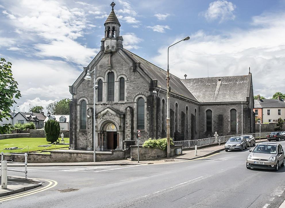 Dromin Church (in ruins)Church · 578 yd
 BarrowBarrow, unclassified · 1103 yd
 EnclosureEnclosure, large enclosure · 1372 yd
 Bawn in MaidstownBawn · 1484 yd
 Bawn in Ballycullane (kilmallock By.)Bawn · 1.4 mi
 King John's CastleCastle · 2.8 mi
 St Bridget's WellSpring · 4.6 mi
 Glen BogForest · 5.1 mi
 KnockainyMountain / peak · 5.5 mi
 Flat cemetery in Knockainy WestFlat cemetery · 6.1 mi
 European ashEuropean ash · 6.9 mi