
What is recorded here
On top of a natural rise of ground in undulating pasture with good views in all directions except to NE. Depicted as a hachured circular enclosure on the 1837 ed. OS 6-inch map. Partially hachured as a circular enclosure from W to NNE and elsewhere defined by a field boundary on the revised 1910 ed. OS 6-inch map. A large roughly circular area (diam. c. 70m N-S) defined by an earthen bank reduced to a scarp from W to N, with fosse and external bank. The fosse has been filled in from E-S-W. The scarp is highest and steepest from W to NNE as hachured on the 1910 ed. OS 6-inch map. Post 1700 field boundaries run onto the perimeter of the monument at NNE, ESE and W. The external bank is only visible from W to NNE. Remains of a narrow causewayed entrance (Wth. 1.75m) at N but it is not certain if this is the original entrance feature and may be a post-1700 entrance. A second gap (3.2m) at SE may represent the original entrance feature and has been partially closed by an intersecting field boundary of post-1700 date. The NW quadrant of the ringfort interior and the perimeter of the monument are heavily overgrown with trees and bushes.
See attached word document for Bing Maps aerial photograph of ringfort taken 06/07 November 2011 - www.bing.com/maps
Compiled by: Caimin O'Brien
Date of upload: 16 July 2013
The monument record does not grant public access. Check the route and ask the landowner before entering private land.
- What survives
- Recorded monument
Places near here
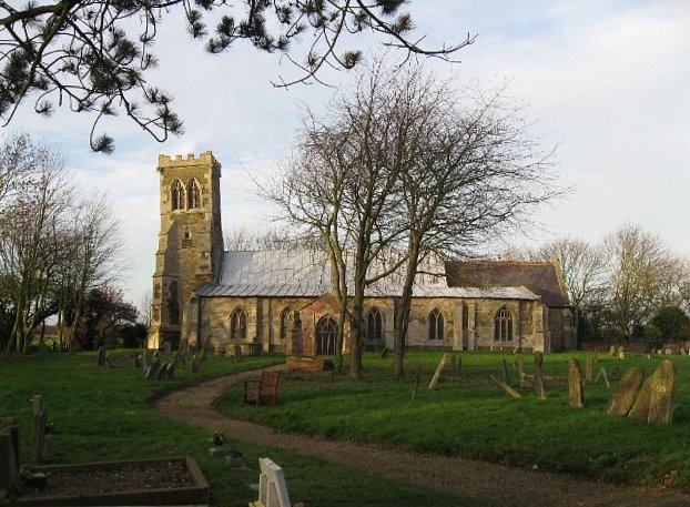 Church (in Ruins)Church · 574 yd
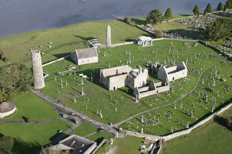 Ecclesiastical enclosure in Clonfad (fartullagh By.)Ecclesiastical enclosure · 614 yd
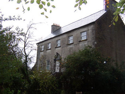 Guilford Housecountry house · 946 yd
 CastleCastle, hall-house · 1666 yd
 Man-made underground passage in Guilford or DavidstownMan-made underground passage · 1.1 mi
 Tyrrellspass CastleCastle, tower house · 1.7 mi
 Ardan WoodWood · 4.2 mi
 Bonfire HillMountain / peak · 4.9 mi
 Croghan HillMountain / peak · 6.2 mi
 Finnrenashark Holy WellSpring · 6.4 mi
 Croghan Hill WalkVisitor information · 6.5 mi
 High WoodWood · 7.9 mi
Other information
Photo: Credit not shown in the picture search · Rights wording not checked; contact us if this picture should be removed