What is recorded here
On level pasture 350m E of the townland boundary with Fanningstown, 200m NNW of an enclosure (LI021-039----). The site was depicted as an oval enclosure on the 1840 ed. OSi 6-inch map (c. 50m NE-SW x 40m NW-SE). It is illustrated again on the 1897 ed. OSi 25-inch map as an oval embanked enclosure (c. 40m NE-SW x 34m NW-SE) with no external ditch. The NE end of the enclosure was removed or incorporated into a linear field boundary of post-1700 date. The OSi Cassini 6-inch map depicts a new field boundary removing the SE side of the enclosure. Inspected by ASI in 2000 when no extant trace of the monument was visible. The levelled enclosure is not visible on Google earth orthophotos taken 28/06/2018 and 14/02/2020.
See attached Google Earth orthoimages
Compiled by: Edmond O’Donovan
Date of upload: 30 July 2020
The monument record does not grant public access. Check the route and ask the landowner before entering private land.
- What survives
- Recorded monument
Places near here
 Enclosure in CastlerobertsEnclosure · 250 yd
 Partially hachuredFairy fort / earthen ringfort · 686 yd
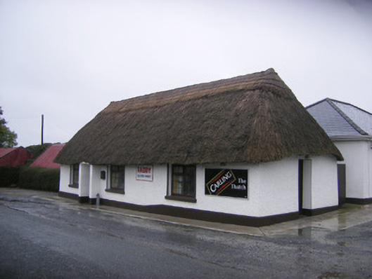 The Thatchhouse · 748 yd
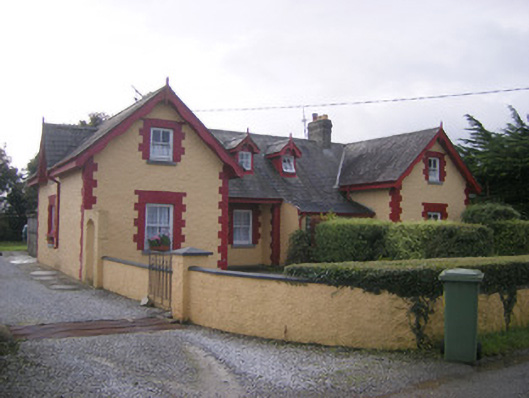 worker's houseworker's house · 763 yd
 Fanningstown Castle (in ruins)Castle, tower house · 1154 yd
 Site of CastleCastle, unclassified · 1348 yd
 GinkgoGinkgo · 1.3 mi
 European YewEuropean Yew · 1.3 mi
 Adare Desmond CastleMedieval castle · 1.7 mi
 Desmond CastleHeritage attraction · 1.7 mi
 Adare Tourist OfficeVisitor information · 1.8 mi
 Biodiversity in the Maigue CatchmentVisitor information · 2.6 mi