What is recorded here
Situated on a low rise, in gently undulating pasture, with good views to E, S and W. Monument described as a D-shaped area (dims. 27m NE-SW) enclosed by a bank visible from WSW-W-NNE and has been removed at SW. There is a modern gap at N and the ground is disturbed on the exterior. There is no fosse or entrance feature visible. The monument has been truncated across the SE sector during construction of a railway line. The remaining portion is divided form the railway by a linear retaining wall running NE-SW along the base of its embankment. The interior has a gentle SE-facing slope. A sub-rectangular-shaped depression with upcast spoil associated with a railway footbridge gate is visible in the SE quadrant. Monument described in 1976 as levelled yet partially traceable. No surface remains visible today on Digital Globe aerial photography.
See attached profile of monument surveyed and drawn by the ASI.
Compiled by Alison McQueen, Vera Rahilly and Caimin O’Brien.
Date of upload: 11 September 2019
This remains an important historical record, but the official description says the monument is no longer visible or has been destroyed. The monument record does not grant public access. Check the route and ask the landowner before entering private land.
- What survives
- No visible remains or recorded as destroyed
Places near here
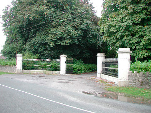 Barrettstown Housegates/railings/walls · 834 yd
 IndicatedFairy fort / earthen ringfort · 854 yd
 Tober FintanHoly well · 1243 yd
 Dysart Ho. (in ruins)Castle, unclassified · 1.0 mi
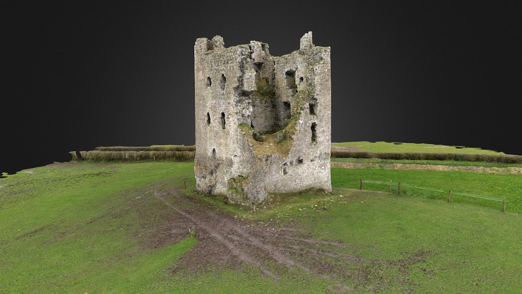 CastleCastle, ringwork · 1.1 mi
 Church (in Ruins)Church · 1.1 mi
 Ancient Ring FortWood · 1.5 mi
 Ash IslandIslet · 2.0 mi
 Dysart IslandIsland · 2.3 mi
 Hill of UisneachMountain / peak · 4.5 mi
 Sessile OakSessile Oak · 9.2 mi
 Bonfire HillMountain / peak · 9.6 mi