What is recorded here
Situated on a slight rise, in relatively low-lying pasture, with stream to NW, N and NE marking townland boundary. On the 1837 ed. OS 6-inch map the townland boundary is show to the S of the ringfort and square-shaped earthwork. Annotated 'fort' on the 1837 OS Fair plan Map. On the revised 1913 ed. the townland boundary is depicted to the N following the line of the stream. Depicted on the 1837 ed. OS 6-inch map as a square-shaped earthwork with ringfort (WM018-089001-) immediately to NW. Depicted on the revised 1913 ed. OS 25-inch map as a a small square shaped mound enclosed by a fosse and outer bank with partially damaged ringfort immediately to W. The depiction of the monument on the OS 25-inch map would suggest possible barrow classification.
Monument described in 1970 as a rectangular-shaped, steep-sided earthen mound, which is enclosed by a deep fosse and an outer bank along its NW, NE and SE sides. The bank is gapped at the E and S corners. Monument visible as a tree-covered earthwork on Digital Globe aerial photography.
See attached plan of monument surveyed and drawn by the ASI
Compiled by: Alison McQueen, Vera Rahilly and Caimin O’Brien
Date of upload: 05 February 2019
The monument record does not grant public access. Check the route and ask the landowner before entering private land.
- What survives
- Recorded monument
Places near here
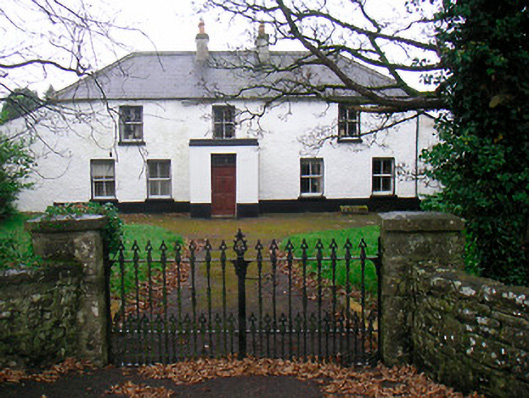 Ballyglass Househouse · 257 yd
 Mweeleen MoatArchaeological place · 325 yd
 Megalithic structure in Ballyglass (rathconrath By.)Megalithic structure · 352 yd
 RathconrathCastle, motte · 504 yd
 P. Gunninghouse · 509 yd
 Ancient Ring FortWood · 584 yd
 CastleCastle, unclassified · 676 yd
 Hill of UisneachMountain / peak · 3.2 mi
 Baronstown ForestWood · 4.9 mi
 Abbeyshrule AbbeyRuins · 6.3 mi
 Guest ServicesVisitor information · 7.6 mi
 Goldsmith Birthplace, PallasVisitor information · 7.8 mi