What is recorded here
In pasture, 153m W of townland boundary with Ballinlee South with Dromin House 40m to W. Depicted on the 1840 ed. OSi 6-inch map as circular shaped area defined by a scarp, with small quarry immediately to NW and OS trig. station marking spot height of 303 ft. OD in centre. Shown on the 1897 ed. OSi 25-inch map as a raised D-shaped area (dims. c. 34m N-S) defined by a scarp truncated at N by a quarry from NW-N-NE. Monument visible as a D-shaped area partially overgrown with trees and scrub on OSi orthophotograph taken between 2005-2012 and on Google Earth orthoimages.
See attached Google Earth orthoimages.
Compiled by: Fiona Rooney
Date of upload: 15 April 2021
The monument record does not grant public access. Check the route and ask the landowner before entering private land.
- What survives
- Recorded monument
Places near here
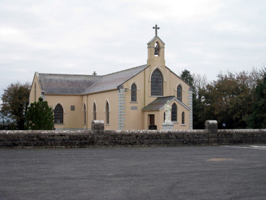 Catholic Church of the Holy Trinitychurch/chapel · 530 yd
 IndicatedEarthwork · 1360 yd
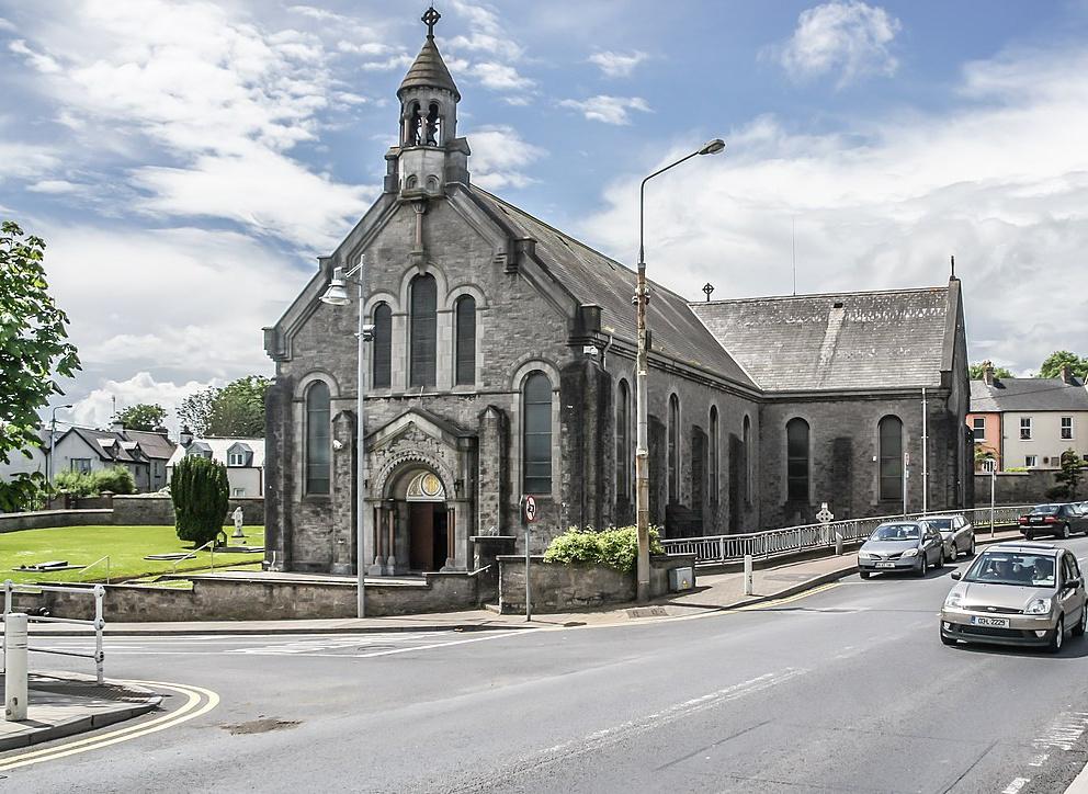 Dromin Church (in ruins)Church · 1412 yd
 ExcavationExcavation, miscellaneous · 1629 yd
 Bawn in MaidstownBawn · 1.3 mi
 Bawn in Ballycullane (kilmallock By.)Bawn · 1.8 mi
 King John's CastleCastle · 3.1 mi
 St Bridget's WellSpring · 4.9 mi
 Lough GurVisitor information · 5.0 mi
 KnockainyMountain / peak · 5.0 mi
 Flat cemetery in Knockainy WestFlat cemetery · 5.6 mi
 Ballinvreena LoopVisitor information · 7.2 mi