
What is recorded here
Modern sheep walls straddle the ancient stones at Parkmore, hiding the true shape of Cashelnagalliagh beneath ordinary pasture. The surviving ring stretches from east to west across a slight rise, suggesting people once drew a boundary around the rock itself. Fairy forts rarely obey human logic, so the site may have marked a place where the visible world thins rather than a home for ordinary life.
A collapsed stone wall surviving from the ENE sec-tion through to the SW section is all that survives of 'Cashelnagalliagh' marked on the 2nd and 3rd edi-tions of the OS 6-inch maps. A modern wall is built on top of the original, the outer face of which is visible in some places. Other modern field boundaries cross the site. It is situated on a slight rise in undulating land consisting of rock outcrop and pasture.
The above description was derived from the 'Archaeological Survey of County Donegal. A description of the field antiquities of the County from the Mesolithic Period to the 17th century.' Compiled by: Brian Lacey with Eamon Cody, Claire Cotter, Judy Cuppage, Noel Dunne, Vincent Hurley, Celie O'Rahilly, Paul Walsh and Seán Ó Nualláin (Lifford: Donegal County Council, 1983). In certain instances the entries have been revised and updated.
Date of upload: 22 September 2008
The monument record does not grant public access. Check the route and ask the landowner before entering private land.
- What survives
- Recorded monument
Places near here
 Dunduneen Head Coastal FortPromontory fort, coastal · 788 yd
 Breaghy HeadHeadland · 801 yd
 Breaghy Coastal EnclosureEnclosure · 820 yd
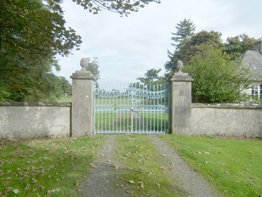 Marble Hilldemesne walls/gates/railings · 1375 yd
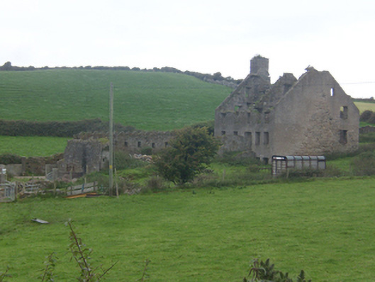 Faugher Housecastle/fortified house, house · 1583 yd
 Mc Swynes CastleCastle, unclassified · 1.4 mi
 Clonmass IslandIslet · 1.5 mi
 KillahoeyOfficial bathing water · 1.7 mi
 The TunnelHeritage attraction · 1.8 mi
 Lockheed Hudson bomber 1942Memorial · 1.8 mi
 Cliffs north of DowniesPublicly named cliff or headland · 2.0 mi
 Kill Old Church GraveyardGraveyard · 2.3 mi
Other information
Photo: Credit not shown in the picture search · Rights wording not checked; contact us if this picture should be removed