
What is recorded here
Depicted on the first edition of the OS 6-inch map as 'Dunduneen Head' but marked 'Dundonnell Head' (DG016-014001-) on the 3rd edition of the OS 6-inch map. Two inlets have eroded the rock to form a promontory connected to the land side by a 5m wide isthmus. On the sea side of the isthmus is a largely destroyed internal bank, a fosse and a low partially destroyed outer bank. The area enclosed measures 100m E-W and 90m N-S. A modern field boundary runs W of and parallel to the defenses. The site is overlooked by higher ground along the coast to the N and inland to the NW. It is situated in an area of light-soiled land with much rock outcrop.
The above description was derived from the 'Archaeological Survey of County Donegal. A description of the field antiquities of the County from the Mesolithic Period to the 17th century.' Compiled by: Brian Lacey with Eamon Cody, Claire Cotter, Judy Cuppage, Noel Dunne, Vincent Hurley, Celie O'Rahilly, Paul Walsh and Seán Ó Nualláin (Lifford: Donegal County Council, 1983). In certain instances the entries have been revised and updated.
Date of upload/revision: 18 November 2010
The monument record does not grant public access. Check the route and ask the landowner before entering private land.
- What survives
- Recorded monument
Places near here
 Breaghy HeadHeadland · 769 yd
 Parkmore Stone RingfortFairy fort / stone ringfort · 788 yd
 Breaghy Coastal EnclosureEnclosure · 1517 yd
 Marble HillOfficial bathing water · 1543 yd
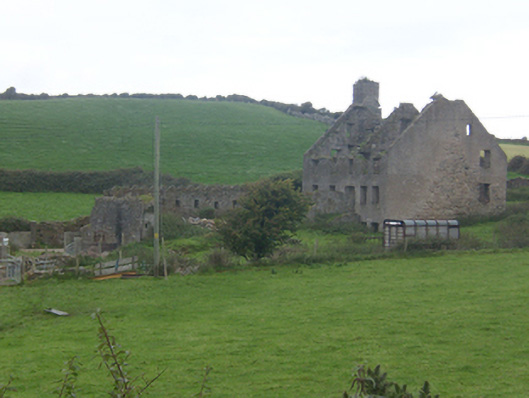 Faugher Housecastle/fortified house, house · 1.3 mi
 Clonmass IslandIslet · 1.5 mi
 Cliffs on Ros GuillPublicly named cliff or headland · 1.5 mi
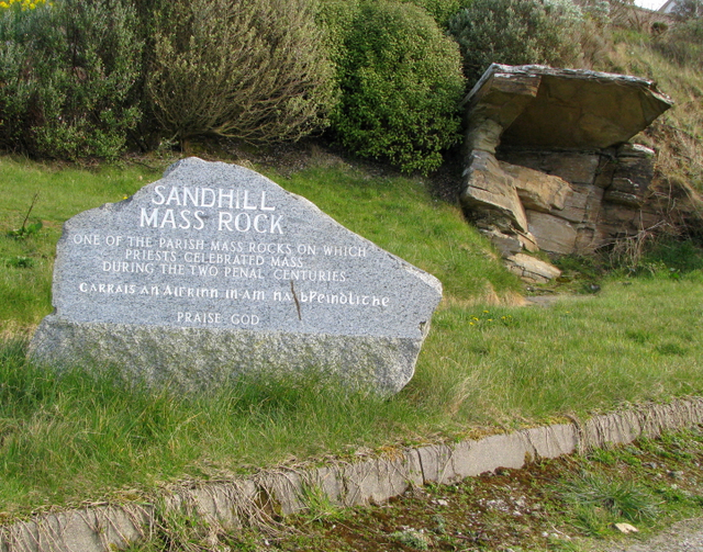 Sandhill Mass Rockshrine/oratory/grotto · 1.8 mi
 Mc Swynes CastleCastle, unclassified · 1.8 mi
 KillahoeyOfficial bathing water · 2.0 mi
 Lockheed Hudson bomber 1942Memorial · 2.1 mi
 The TunnelHeritage attraction · 2.2 mi
Other information
Photo: Credit not shown in the picture search · Rights wording not checked; contact us if this picture should be removed