What is recorded here
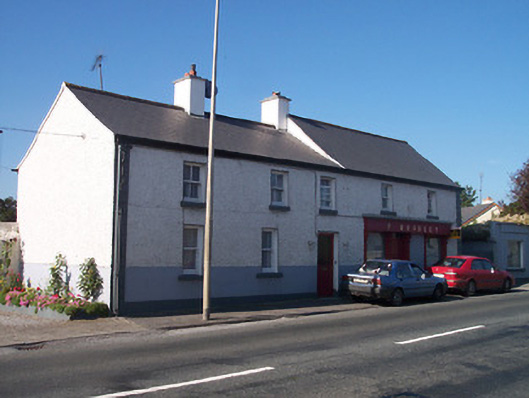
Detached five-bay two-storey house, built c.1830, with shopfront to east end, c.1900, and outbuildings to rear. Originally two separate structures, now amalgamated into one single property. Pitched artificial slate roof with rendered chimneystacks and remaining sections of cast-iron rainwater goods. Roughcast rendered walls over smooth rendered plinth with raised block quoins to corners at either end. Square-headed window openings with timber two-over-two pane timber sliding sash windows to first floor openings and one-over-one pane timber sliding sash windows to ground floor openings, cut stone sills and rendered reveals throughout. Central square-headed doorway with rendered reveals and glazed timber door. Traditional timber shopfront to east end with timber pilasters with consoles over supporting timber fascia board with raised lettering. Fixed pane timber windows to shopfront flanking central square-headed doorcase with overlight above. Rubble limestone outbuildings to rear (northwest). Road-fronted at northeast end of Tyrrellspass.
This building, although modest in design, retains most of its early features and character. Simple in its form, it is typical of the many modest nineteenth century structures in rural Ireland that incorporate commercial premises to the ground floor with accommodation over. The simple timber traditional shopfront, although largely reconstructed in recent years, is a pleasant example of its type and enhances the overall façade. This building makes a positive addition to the Tyrrellspass streetscape, adding incident to the northeast end of the village.
From the Buildings of Ireland (National Inventory of Architectural Heritage) record 15322023
This does not grant access. Most recorded buildings are privately owned; view them only from public ground unless the owner allows entry.
Places near here
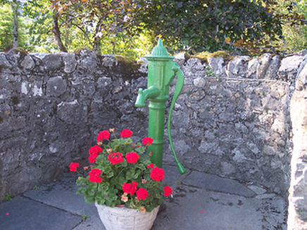 water pump51 yd
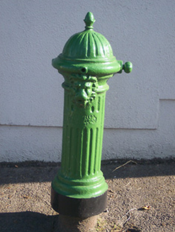 water pump70 yd
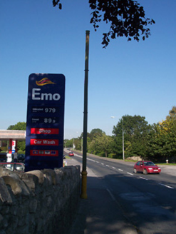 vent pipe90 yd
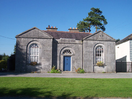 Belvedere SchoolSchool master's house · 94 yd
 Tyrrellspass CastleCastle, tower house · 613 yd
 CastleCastle, unclassified · 3.0 mi
 Croghan HillMountain / peak · 5.0 mi
 St. Columbkilles CrossCross, High cross · 7.4 mi
 CrossCross, High cross · 7.4 mi
 Grand Canal WayWalking route · 8.7 mi
 European ash8.8 miEuropean ash8.8 mi
Pictures: National Inventory of Architectural Heritage; Brian Shaw, Wikimedia Commons · CC BY-SA 2.0; MookiePlays, Wikimedia Commons · CC BY-SA 4.0; Sarah777 at en.wikipedia, Wikimedia Commons · Public domain; kevin higgins, Wikimedia Commons · CC BY-SA 2.0; Dalenevada, Wikimedia Commons · CC BY-SA 4.0; JP, Geograph · CC BY-SA 2.0; Willow, Wikimedia Commons · CC BY 2.5
More historic places in County Westmeath · All of County Westmeath
What do you know about this place?